 by
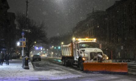
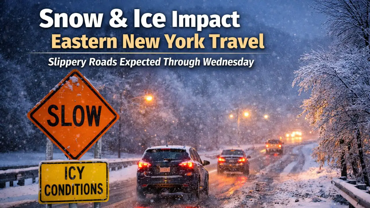
by Woodstock, New York — Drivers across eastern New York are being urged to prepare for hazardous travel conditions as a widespread winter weather system brings snow, mixed precipitation, and light ice to the region starting early Tuesday and lasting into Wednesday morning. Officials warn that slick roads could impact both the morning and evening commutes, especially in higher elevations and rural areas.
According to the National Weather Service office in Albany, Winter Weather Advisories are in effect for large portions of eastern New York and parts of southern Vermont, with conditions deteriorating before sunrise in some locations.
Snow Begins Early in Ulster County
Western Ulster County is expected to see the first impacts, with snow developing before daybreak Tuesday. Forecasters say snowfall will continue into the early afternoon before gradually tapering off.
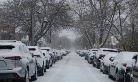
Residents in and around Woodstock and neighboring communities could see 2 to 5 inches of snow, with a light glaze of ice possible in spots. Even minor ice accumulation may create slick travel, particularly on untreated roads and shaded surfaces.
Local officials advise drivers to take extra precautions during the morning hours, as snowfall rates may briefly increase during the early commute.
Heavier Impacts Expected North of the Hudson Valley
Farther north, snow is forecast to spread west to east shortly after sunrise across parts of the Mohawk Valley and the Adirondack region. Counties including Hamilton, Herkimer, and Fulton are expected to see snow persist into Tuesday night.
In these areas, periods of mixed precipitation and patchy freezing drizzle may develop later in the day and overnight. This combination raises concerns about black ice, particularly on bridges, overpasses, and less-traveled secondary roads.
Officials say even light freezing drizzle can be deceptive, as it may not be immediately visible but can significantly reduce traction.
Southern Vermont Also Under Advisory
The winter weather system is also impacting parts of southern Vermont. Bennington County and western Windham County are expected to experience similar conditions, especially in areas above 1,200 feet in elevation.
Snow and light ice accumulation in higher terrain could make mountain roads particularly dangerous. Emergency managers are encouraging residents and travelers in these regions to avoid unnecessary travel during periods of active precipitation.
Read Also: Christmas Storm Still on Track to Soak Southern California as Heaviest Rain Nears
Most Hazardous Travel Windows Identified
Meteorologists say the most dangerous travel periods are likely to be:
- Tuesday morning commute, as snow spreads into the region
- Tuesday evening commute, when mixed precipitation and freezing drizzle may develop
Road conditions could change rapidly throughout the day, especially as temperatures hover near the freezing mark. Areas that briefly warm may refreeze after sunset, increasing the risk of icy patches overnight.
Drivers are urged to slow down, increase following distance, and allow extra time to reach their destinations.
Lingering Snow Showers Into Tuesday Night
Snow showers may continue into late Tuesday night, particularly across northern areas and higher elevations. While conditions are expected to gradually improve by Wednesday morning, forecasters caution that isolated slick spots may persist.
“Even after steady snow ends, freezing drizzle can still create hazardous conditions,” forecasters warned, noting that early Wednesday commuters should remain alert.
Plow crews and road treatment teams are expected to remain active overnight, but officials stress that conditions can vary widely over short distances.
Travel and Safety Tips for Residents
Authorities recommend several precautions as the storm moves through the region:
- Check road conditions before traveling
- Reduce speed and avoid sudden braking
- Keep headlights on during snowfall or low visibility
- Carry emergency supplies, especially in rural or mountain areas
Those who can delay travel until conditions improve Wednesday morning are encouraged to do so.
As winter weather continues to impact eastern New York, officials emphasize that preparation and caution can help reduce the risk of accidents and delays.
Have you experienced slick or hazardous road conditions in your area? Share what you’re seeing and how travel looks near you in the comments below.