MJP –
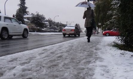
A series of storms is set to impact Northern California starting today, with a cold front bringing widespread light to moderate rainfall and snow in higher elevations, according to the National Weather Service Eureka office. Rain totals could reach up to 2 inches in Del Norte and northern Humboldt counties, while snow levels may drop to 3,000 feet tonight, possibly hitting 2,500 feet in interior areas.
The real challenge begins midweek with an atmospheric river delivering prolonged heavy rain through the weekend. Del Norte, Humboldt, and surrounding areas may see up to 4 inches of rain daily from Wednesday to Friday.
Strong southerly winds are expected Tuesday night, with gusts up to 70 mph in exposed coastal regions. A High Wind Watch is in effect. Residents should prepare for potential flooding and hazardous travel conditions.
Northern California is bracing for an intense winter storm, with weather forecasts predicting heavy rain, significant snow, and gale-force winds that could disrupt travel and daily life across the region. The storm, which is expected to hit within the next 24 to 48 hours, has prompted officials to issue a Winter Storm Watch, warning residents of the potentially dangerous conditions.
The combination of heavy precipitation, gusty winds, and low temperatures could cause flooding, widespread power outages, and hazardous driving conditions. Residents are being urged to prepare for the storm’s impact, especially those in higher elevations and coastal areas that are most vulnerable to the severe weather.
What to Expect from the Storm
1. Heavy Rain and Flooding Risks
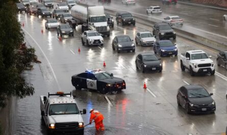
The storm will bring a substantial amount of rain to Northern California, particularly to the coastal regions and valley areas. Expect anywhere from 2 to 4 inches of rain in some areas, with the possibility of even more in localized heavy bands. This amount of rainfall in a short period of time raises concerns about flash flooding, especially in burn scar areas from recent wildfires. Local rivers and streams may rise rapidly, creating risks of overflow and flash flooding.
2. Snowfall in the Sierra Nevada
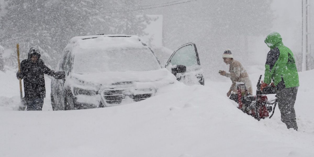
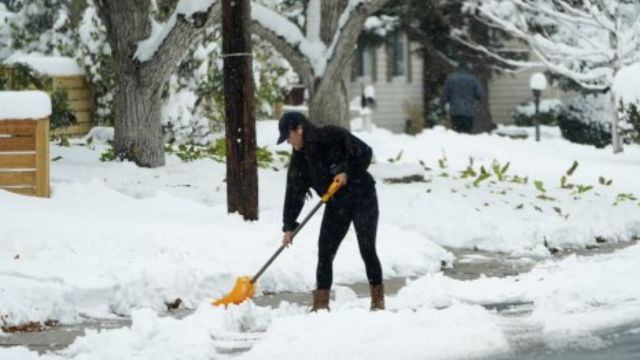
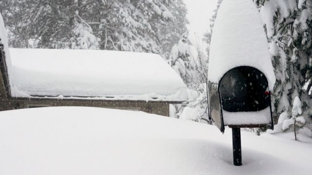
The Sierra Nevada mountains are likely to see significant snowfall, particularly above 5,000 feet. Snow accumulation could range from 6 inches to 2 feet in higher elevations, with snow levels potentially dropping lower as the storm progresses. For residents planning travel through mountain passes like Donner Summit, Chain Control warnings are expected, and travel may become treacherous as snow and icy conditions develop.
3. Gale-Force Winds
Strong winds are another key feature of this storm, with gusts expected to reach up to 50 to 70 mph in some areas. Coastal regions, especially along the North Coast and Bay Area, will feel the brunt of these winds, which could cause fallen trees, power outages, and dangerous conditions along the coast. Inland areas could also experience gusty winds, although less severe than along the shoreline.
4. Coastal Hazards
The winds will also stir up hazardous surf conditions along the Northern California coast. The National Weather Service has issued high surf advisories for areas like Monterey Bay, San Francisco, and the Humboldt coast. Dangerous rip currents, large waves, and coastal erosion could threaten beachgoers and lead to coastal flooding in some areas.
Precautions and Preparations
National Weather Service upgrades Williamston tornado to EF2
1. Flood Preparedness
Residents living in flood-prone areas are urged to have an emergency plan in place. Sandbags, flashlights, extra batteries, and non-perishable food supplies should be gathered, and flood-prone areas should be cleared of any debris that could block storm drains. If driving, avoid crossing flooded roads, as even shallow water can be dangerous.
2. Winter Travel Safety
If you plan to travel through the mountains, be prepared for winter driving conditions. Check road reports and carry chains if you’re traveling in areas expected to receive significant snow. Drivers should slow down on slick roads and be ready for sudden changes in weather. For those living in higher elevations, it’s important to keep extra blankets, food, and water on hand in case of power outages or being stranded.
3. Wind and Power Outage Precautions
In coastal and valley areas, the strong winds could bring down trees and power lines, resulting in widespread outages. Ensure that all outdoor furniture, garbage bins, and other loose items are secured. It’s also a good idea to have a backup power source, like a generator, in case of power loss. Make sure to keep your mobile phone charged and have flashlights and candles available in the event of an outage.
4. Stay Informed
Stay up-to-date with the latest weather forecasts by following the National Weather Service and local emergency management agencies. Sign up for emergency alerts if available in your area. If conditions worsen, be prepared to shelter in place until the storm subsides.
Impact on Daily Life
The winter storm could affect transportation, including flight delays and cancellations, particularly in areas near the Bay Area and other major transportation hubs. Caltrans is advising drivers to be prepared for chain control requirements and slow-moving traffic in the mountains and on highways affected by heavy rain or snow.
Residents in the Bay Area, Sacramento Valley, and coastal regions should be prepared for significant rainfall, which could disrupt daily activities such as commuting, school, and work. Additionally, high surf warnings mean that coastal areas could experience erosion, flooding, and beach closures.
After the Storm
Once the storm passes, Northern California will face the aftermath. While the rain and snow may provide much-needed water to reservoirs, the risk of flooding and damage to infrastructure will need immediate attention. Crews will likely be out in force to clear downed trees and restore power. If conditions allow, cleanup efforts will begin quickly after the storm’s departure.
Conclusion
As Northern California prepares for a potentially dangerous winter storm, residents should take immediate steps to ensure their safety and protect their property. The combination of rain, snow, and winds could lead to hazardous conditions that impact travel, power, and public safety. By staying informed and taking necessary precautions, you can minimize the storm’s impact and weather the storm safely.
Stay tuned for further weather updates, and remember: when severe weather strikes, your safety should always come first.

