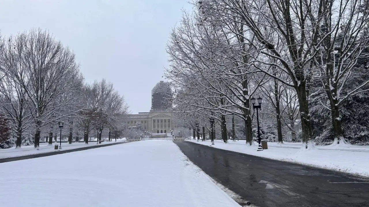
A major winter storm is set to hit parts of the United States this weekend, bringing heavy snow, ice, and freezing temperatures to several regions.
While the storm will affect much of the country, the New York City metro area will experience only a light dusting, according to AccuWeather.
Meteorologists are closely monitoring this storm, which will stretch from the Midwest to the Northeast.
Although the storm’s impact will be far-reaching, the Tri-State area is expected to receive only a minimal amount of snow. However, that doesn’t mean the region won’t feel the effects of the cold and stormy weather.
What to Expect in the Tri-State Area?
For the New York City metro region, the weather will start turning colder starting Sunday evening, with some snow likely to begin falling by Sunday night.
AccuWeather forecasts that areas such as Philadelphia, Baltimore, and Washington, D.C. will experience accumulating snow starting Sunday evening into Monday morning.
In New York City itself, the snow accumulation will be light—just a dusting to around an inch of snow.
The northern parts of the city may see no snow at all. Areas to the south of the city are more likely to receive around an inch or more of snow, with a better chance of seeing the white stuff.
Which Areas Will See More Snow?
While the storm won’t bring much snow to the immediate New York City area, regions like Philadelphia and parts of the mid-Atlantic will get hit with several inches of snow.
Meteorologists are predicting up to 3 inches of snow in some areas, with totals possibly higher depending on the exact path of the storm.
The storm’s snow and ice will impact a wide range of states, including Kansas, Missouri, and Illinois, where up to 30 inches of snow could fall. These areas will likely see the heaviest snow and the most severe winter conditions.
If the storm tracks further north, it’s possible that New York City could get more snow than expected.
The forecast will continue to evolve over the weekend, so residents in the Tri-State area should keep an eye on updates from AccuWeather and local meteorologists.
Arctic Cold Behind the Storm
Once the storm moves through, the Tri-State will feel another significant impact: a blast of Arctic air. This will bring frigid temperatures to the region, with daytime highs only reaching around the freezing mark of 32°F.
The cold will make it feel even chillier, especially with the wind chill, so it’s important to prepare for very cold conditions once the storm has passed.
How to Prepare for the Winter Weather?
- Monitor weather updates: Keep track of the storm’s progress through AccuWeather or your local news station for real-time forecasts.
- Stay warm: Bundle up with warm clothes, especially if you plan to go outside during or after the storm.
- Drive safely: If you need to travel, be aware of icy roads and snow-covered surfaces, especially in areas that get more snow.
- Winterize your home: Make sure windows and doors are properly sealed, and if you haven’t already, check to ensure your heating system is working well.
Note- Every piece of content is rigorously reviewed by our team of experienced writers and editors to ensure its accuracy. Our writers use credible sources and adhere to strict fact-checking protocols to verify all claims and data before publication. If any error is identified we promptly correct it and strive for transparency in all updates.


