 by
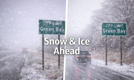
by Northeast Montana — A Winter Storm Warning remains in effect across large portions of northeast Montana as persistent snowfall continues to create dangerous travel conditions through early Saturday morning, according to the National Weather Service in Glasgow.
Heavy Snowfall Continues Across the Region
Meteorologists report that “additional snowfall totals between 5 and 11 inches are expected” across warned areas as the system remains stalled over the region. The warning is scheduled to stay in place until 8 a.m. MST Saturday, with snow affecting both daytime and overnight travel.
Forecasters note that snowfall rates may fluctuate, but even lighter snow will continue to accumulate on already slick roadways.
Areas Under the Winter Storm Warning
The Winter Storm Warning covers a wide stretch of northeast Montana, including Central and Southeast Phillips, Valley, Petroleum, Garfield, McCone, Dawson, Prairie, Wibaux, Northern Phillips, and Southwest Phillips counties.
Communities impacted by the storm include Glasgow, Malta, Fort Peck, Glendive, Circle, Terry, Wibaux, and Jordan, along with numerous rural towns and highways that are particularly vulnerable to winter weather hazards.
Snowfall and Travel Impacts
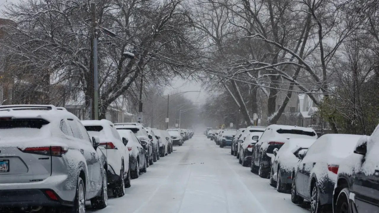
Ongoing snowfall is expected to significantly impact road conditions. The National Weather Service cautioned that “roads will likely become slick and hazardous, with rapidly changing conditions during periods of heavier snowfall.”
Bridges, overpasses, and untreated roads are especially prone to ice and snow buildup. Visibility reductions and snow-covered pavement may make travel very difficult at times, particularly during peak commute hours on Friday and early Saturday.
Safety Concerns for Motorists
Emergency officials warn that rapidly changing road conditions can quickly reduce both visibility and traction, increasing the risk of crashes and stranded vehicles. Rural highways and open stretches of road are especially susceptible to blowing and drifting snow, which can cover lanes shortly after plows pass.
Drivers are urged to delay travel when possible. For those who must be on the road, officials advise slowing down, allowing extra stopping distance, and remaining alert for sudden changes in conditions.
Recommended Precautions
For anyone who cannot avoid travel, the National Weather Service recommends carrying a basic winter emergency kit that includes a flashlight, extra food and water, warm clothing or blankets, and a fully charged mobile phone.
Officials also stress the importance of staying informed. Up-to-date road conditions across Montana can be accessed by dialing 511, which provides real-time updates on closures, accidents, and hazardous travel areas.
Impact on Commuters and Freight Traffic
The storm may be especially disruptive for freight traffic and long-distance travelers. Open corridors and rural highways are at higher risk for drifting snow, which can quickly block lanes and slow commercial transport.
Truck drivers and commercial operators are encouraged to adjust travel plans and monitor forecasts closely as conditions evolve.
Conclusion
With heavy snowfall expected to continue into early Saturday, hazardous travel conditions are likely to persist across northeast Montana. Authorities emphasize that preparation, patience, and caution are essential during prolonged winter weather events.