by
by Seattle, WA — Washington is dealing with the aftermath of record-breaking flooding as rivers remain high and soils stay dangerously saturated, even as the state catches a brief break from heavy rain heading into the weekend.
Flooding Aftermath Keeps Landslide Risk Elevated
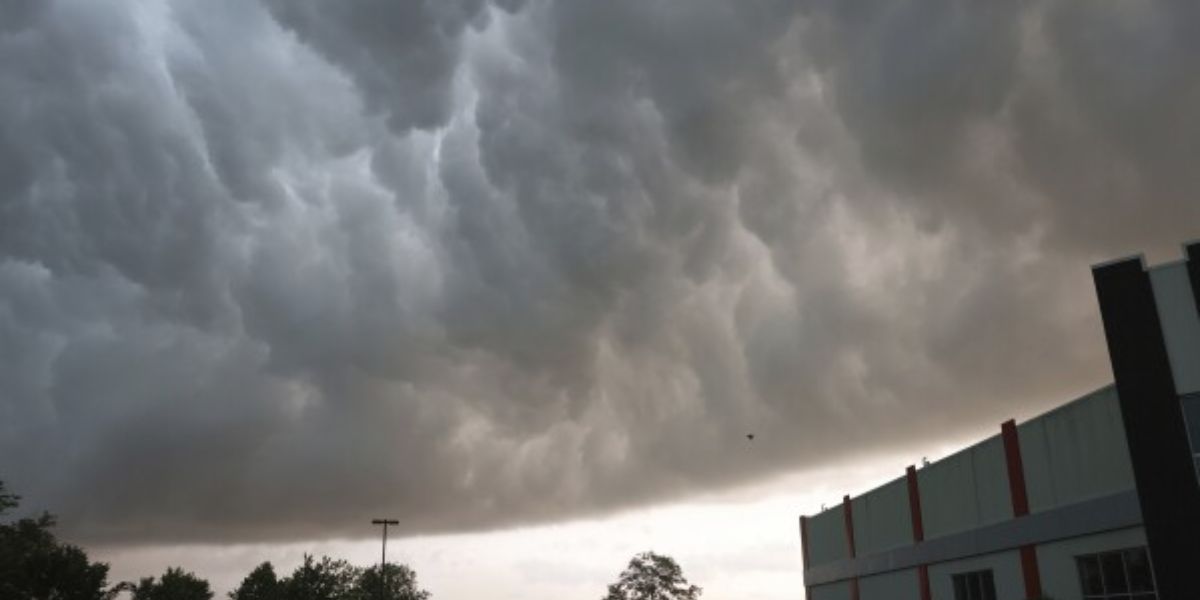
Emergency officials say widespread flooding has already caused significant damage across parts of western Washington. While rainfall is easing on Friday, experts warn the threat is far from over. Saturated ground continues to increase the risk of landslides, particularly in steep and previously burned areas.
Forecasters caution that “we’re getting a break from the rain Friday, but saturated soil means there’s still a risk for landslides”, underscoring that conditions remain unstable despite improving skies.
Another Atmospheric River on the Way
Meteorologists are now tracking another atmospheric river expected to arrive early next week. While it is not expected to match the intensity of the recent storm, officials stress it could still cause renewed problems.
According to weather analysts, “this next atmospheric river looks to be weak to moderate and nothing comparable to the event we just went through,” but rainfall totals could still reach “1 to 2 inches in the lowlands and 4 to 7 inches in the mountains through the first half of next week.”
Rivers to Rise Again Early Next Week
With rivers already running high and the ground unable to absorb additional moisture, water levels are expected to climb again into Tuesday and Wednesday. The greatest concern at this point appears to be focused on the Skagit and Snoqualmie rivers.
Forecasters note that rivers may peak around “moderate flood stage”, emphasizing that conditions are “nothing close to the record flooding we’re seeing now,” but still capable of causing localized flooding and travel disruptions.
Weekend Forecast Brings Temporary Relief
Before the next system arrives, western Washington will see a stretch of calmer weather. Friday and Saturday are expected to be relatively quiet, with fog and low clouds developing due to lingering moisture.
Weather experts explain that “we’re so calm that we have some fog this morning,” leading to areas of mist, drizzle, or light sprinkles early in the day. Conditions are expected to improve later, with sunbreaks developing by afternoon and evening. High temperatures will remain in the upper 50s.
Saturday will begin cool with fog or low clouds, followed by increasing sunshine. High clouds may move in later, but forecasters say it should be a pleasant day overall.
Rain Returns Sunday Ahead of Next System
Rain showers are forecast to return on Sunday, bringing hit-or-miss downpours across the region. Attention will then turn quickly to Monday and Tuesday, when the next atmospheric river is expected to impact western Washington.
Looking ahead, forecasters say “late next week, we could see a turn toward cooler weather,” which may help reduce flood risk by shifting mountain precipitation from rain to snow.
Conclusion
While Washington is getting a short break from heavy rain, flooding concerns are far from over. Another atmospheric river next week could push rivers higher again, especially in already vulnerable areas. Residents are urged to remain alert, monitor river levels, and stay prepared as conditions continue to evolve.
Share Your Experience
Has flooding affected your area, or are you noticing rising rivers near you? Share what you’re seeing and how conditions look in your community by commenting below.