 by
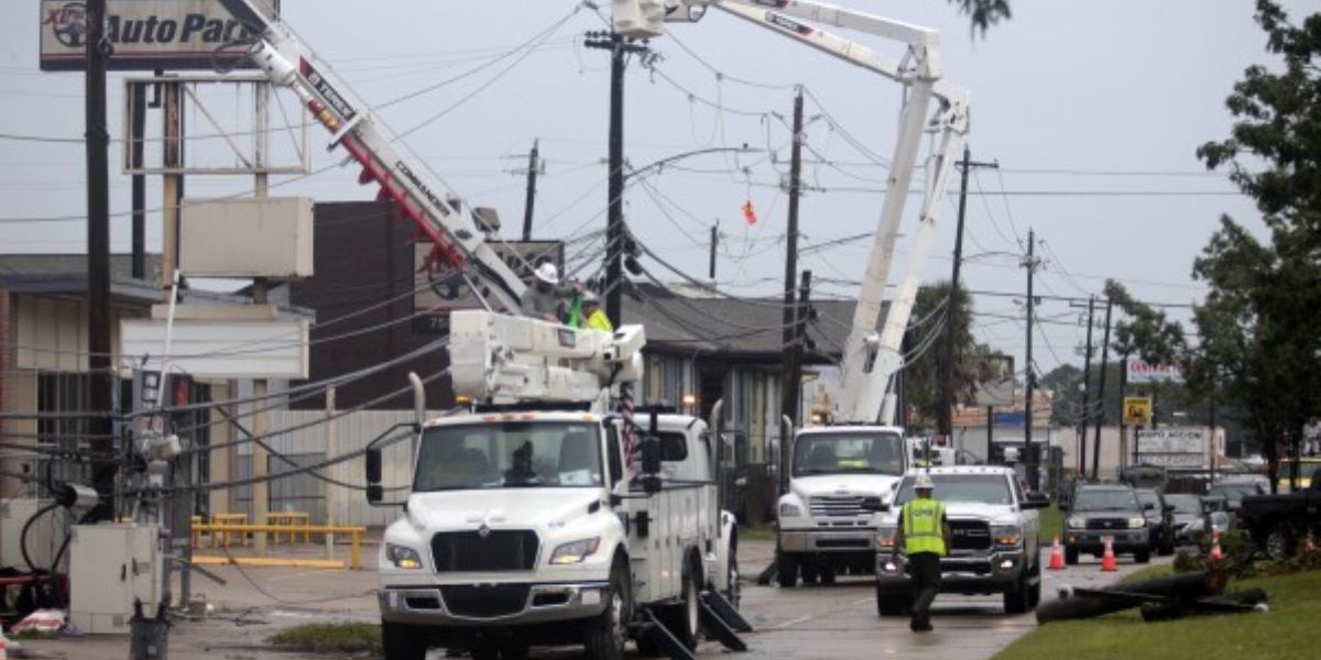
by Seattle, WA — Washington is still reeling from record-breaking flooding that has damaged communities across the state, and while a brief break in the rain is expected, the flood threat is far from over. Forecasters warn that saturated ground, swollen rivers, and another incoming atmospheric river could create renewed problems in the days ahead.
Flooding Situation Across Washington
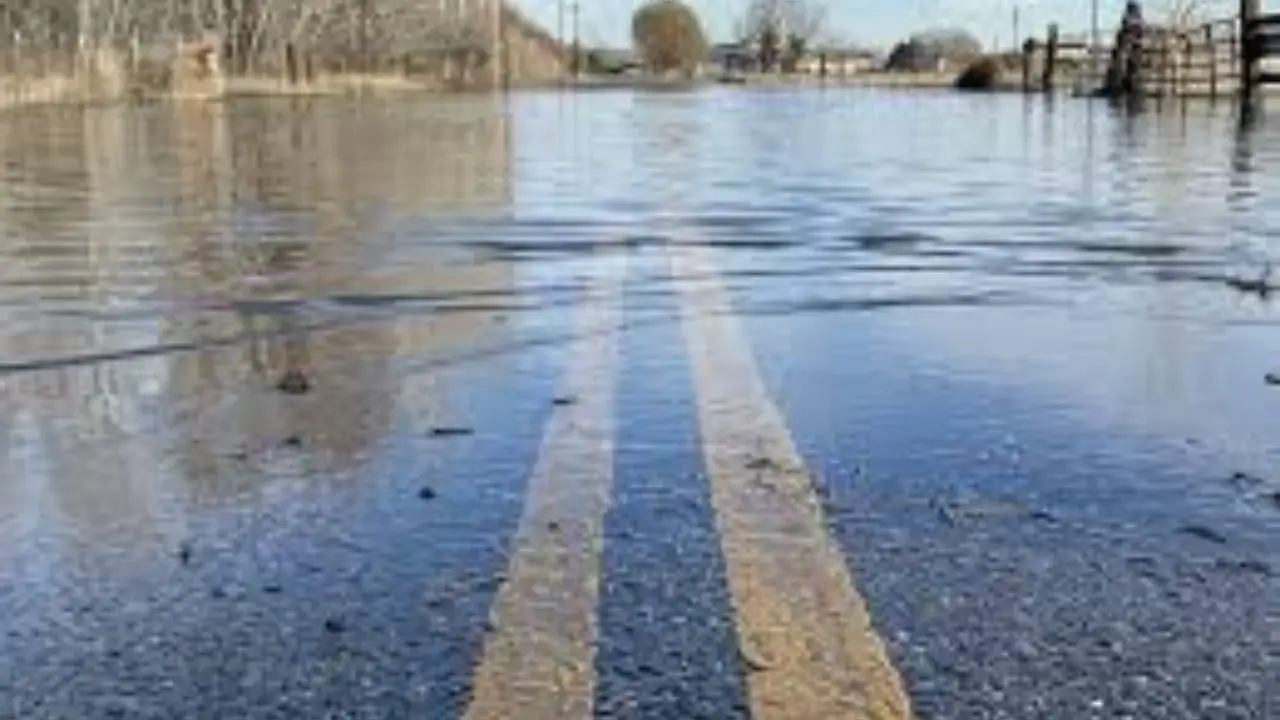
Emergency officials say much of western Washington remains vulnerable after days of intense rainfall. Even as rain eases temporarily on Friday, the National Weather Service and local meteorologists caution that “saturated soil means there’s still a risk for landslides.”
Rivers are running high in multiple basins, and standing water continues to affect low-lying areas. Officials stress that while rainfall has paused, the impacts of the recent storm are ongoing.
Another Atmospheric River Expected Next Week
Weather teams are closely monitoring the next system, with meteorologists confirming “our team is tracking another atmospheric river for next week.” This upcoming event is expected to be weaker than the historic storm that just passed, but it still carries notable risks.
Forecast models suggest “1–2 inches of rain in the lowlands and 4–7 inches in the mountains through the first half of next week.” With soil already saturated, even moderate rainfall could cause renewed flooding concerns.
Rivers to Watch Closely
Hydrologists warn that rivers will remain sensitive through midweek. According to current projections, “rivers will still be running high in spots and the ground saturated, so we’ll see rivers rising into Tuesday and Wednesday.”
The greatest concern at this time appears to be the Skagit and Snoqualmie rivers, which could approach “moderate flood stage” but are not expected to reach the record levels seen during the recent event. Officials emphasize that conditions can change quickly depending on rainfall intensity.
Weekend Weather Outlook
The weekend is expected to offer a brief period of calmer conditions. Forecasters report “some calm conditions today and tomorrow,” though fog and low-level moisture are present Friday morning.
Cooler temperatures have allowed fog to settle in, bringing “some drizzle, mist, or even a few sprinkles” early in the day. Conditions are expected to improve by afternoon with increasing sun breaks. High temperatures will hover in the upper 50s.
Saturday looks similar, starting with low clouds or fog before clearing to afternoon sunshine. Clouds may increase later in the day, but overall conditions are expected to remain dry and mild.
Rain showers are expected to return Sunday, described as “hit-and-miss downpours,” ahead of the next atmospheric river arriving Monday and Tuesday.
Looking Ahead to Cooler Changes
There is some encouraging news toward the end of next week. Forecasts suggest “a turn toward cooler weather,” which could shift mountain precipitation from rain to snow. This transition may help reduce flood risks in higher elevations while stabilizing river levels.
Conclusion
Washington may get a short-lived break from heavy rain, but flood risks remain elevated due to saturated ground and another atmospheric river on the way. Residents near rivers, steep slopes, and flood-prone areas are urged to stay alert, monitor official updates, and prepare for changing conditions early next week.
Have You Been Impacted?
Has flooding affected your neighborhood, commute, or property this week? Share what you’re seeing in your area by leaving a comment below and let others know how conditions look where you live.