 by
by MJP –
The National Weather Service in Hanford, CA, has issued a critical update regarding weather conditions across Central California.
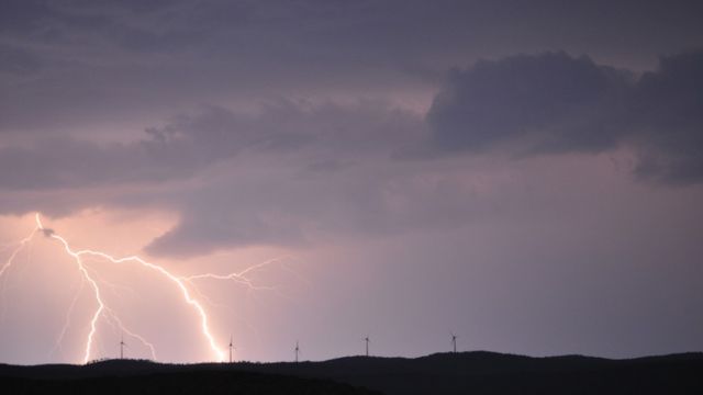
Elevated fire weather conditions are expected to persist this week, particularly in the Sierra Nevada and West Side Hills, due to low humidity and inadequate overnight moisture recovery.
Although these conditions will gradually improve over the weekend, residents are urged to remain vigilant.
Temperatures will stay above normal, with highs in the low to mid-80s expected through Sunday. This pattern is attributed to a strong high-pressure system over Baja California, which has led to lighter winds and warmer temperatures across the region.

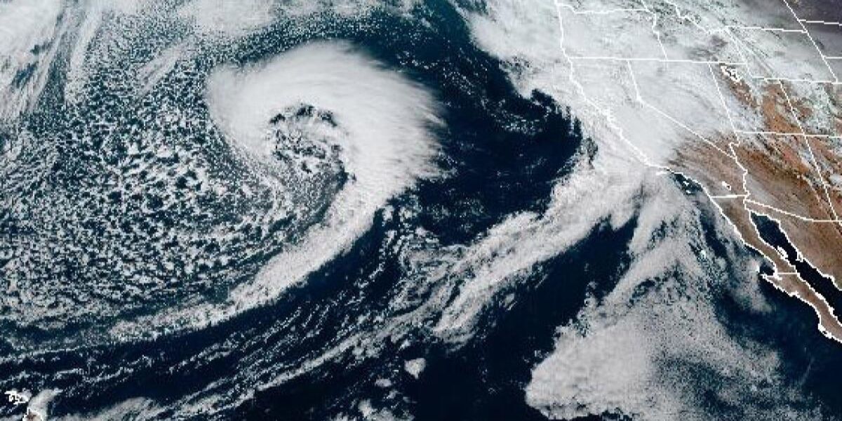
A significant change is on the horizon as a storm system approaches from the Pacific Northwest early next week.
This system is anticipated to bring cooler temperatures, with a 40 to 80 percent chance of measurable rainfall across Central California, and an impressive 85 percent chance of snow in the Sierra Nevada, particularly above 7,500 feet.
Gusty winds are also forecasted for Kern County Desert and Mojave Slopes from Monday evening into Tuesday morning.
As we transition into next week, residents can expect a notable shift in weather patterns, leading to below-normal temperatures and potential snowfall, making this an eventful start to the November season.