 by
by The tornado watch for New Jersey has officially been canceled by the National Weather Service, but that doesn’t mean residents are in the clear. Dangerous weather conditions are expected to continue across parts of the state, with strong thunderstorms, damaging wind gusts, and heavy rainfall still a concern into the evening hours. While the immediate threat of tornado formation has eased, forecasters say the system pushing through the region remains very active and could bring serious weather impacts through the night.
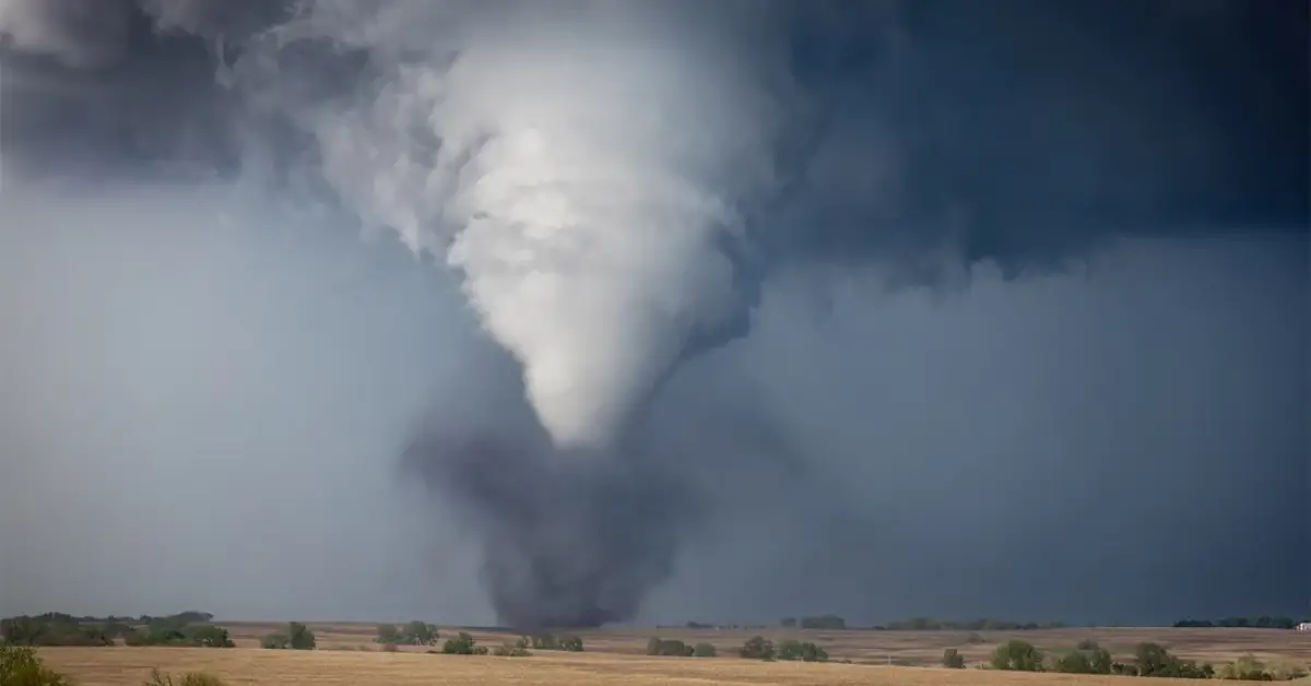
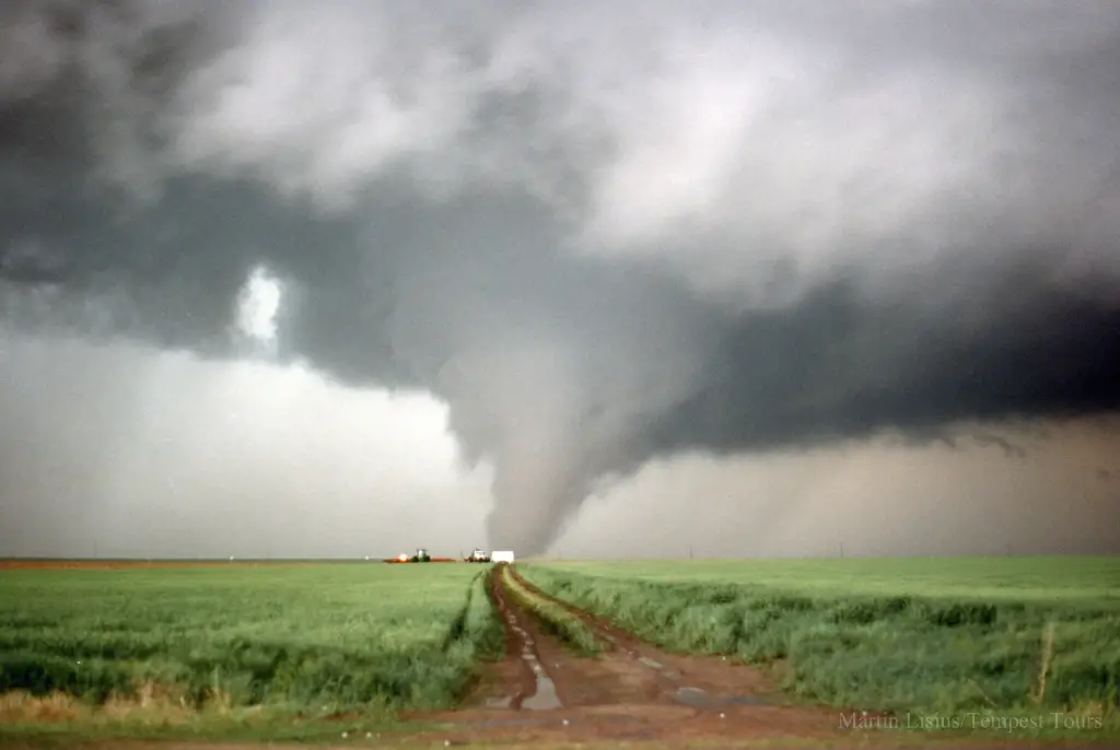
Earlier in the day, the National Weather Service issued tornado watches for multiple counties across central and southern New Jersey, triggering alerts on phones and prompting many schools and businesses to take precautionary measures. The warning was tied to a fast-moving system sweeping up from the south, carrying the potential for rotating thunderstorms capable of producing tornadoes. However, by late afternoon, meteorologists determined that conditions were no longer favorable for tornadic development, and the watch was officially lifted.
Despite this cancellation, New Jersey residents are being told to stay alert. Severe storm warnings remain in effect in various parts of the state, especially in areas that are already saturated from earlier rainfall. These storms could still pack winds of up to 60 mph, create local flooding, and possibly produce large hail. Forecasters are advising the public to avoid unnecessary travel, secure outdoor objects, and stay indoors if thunderstorms approach.
Flash flooding is a significant concern as well. With the ground already soaked from previous rain events this month, the new burst of precipitation could overwhelm drainage systems and lead to standing water on roads and low-lying areas. The New Jersey Department of Transportation has already issued advisories for several highways where ponding has been reported. Drivers are being told not to try to cross flooded roads and to exercise caution even in areas where rain appears to be tapering off.
Utility companies across the state are also preparing for possible service disruptions. PSE&G and other local power providers have increased staffing and deployed response teams in advance of possible power outages caused by falling trees and snapped power lines. As of now, outages have been relatively minor, but the situation could change quickly if stronger cells move through densely populated zones.
Air travel may also be affected. Newark Liberty International Airport reported multiple delays throughout the afternoon and evening, with ground stops temporarily in place due to lightning in the area. Passengers are encouraged to check their flight status frequently and allow extra time if traveling to or from the airport tonight.
Schools that had after-school programs or evening events scheduled have either canceled them or moved activities indoors. Local officials have also opened a few community centers as storm safety hubs, primarily in areas that experienced flooding in past storms. These centers will remain open through the night to support residents who may lose power or need shelter from strong winds.
This pattern of intense and unpredictable weather is part of a broader trend that meteorologists say we could see more of this summer. Climate experts have noted that warmer ocean temperatures and increased atmospheric instability may contribute to more severe weather events, especially in the Northeast. New Jersey, in particular, has seen an uptick in thunderstorm activity during recent summers, with several areas experiencing flash flooding, wind damage, and even rare tornadoes.
The National Weather Service continues to monitor the storm system and will issue updates as needed. Residents are encouraged to keep their phones charged, monitor local news and weather apps, and sign up for emergency alerts from their township or county. Even if the sky looks clearer where you are, the weather can change fast—especially when the air is already unstable.
While it’s a relief that the tornado threat has passed, this is not the time to let your guard down. Thunderstorms can still be dangerous, especially when they come with high winds and flash flooding. Stay indoors if possible, keep emergency supplies nearby, and wait for official confirmation that the system has fully moved out before returning to normal routines. The next few hours will be key in determining how much damage this weather event brings to New Jersey.