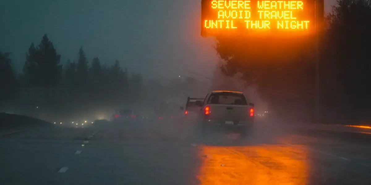
The Bay Area braces for another round of impactful weather starting Friday evening. Moderate to heavy rainfall is expected through Saturday, with the North Bay under a Flood Watch due to potential accumulations of 3-5 inches in coastal ranges. Gusty south winds could reach 60-70 MPH, prompting a High Wind Watch for coastal and elevated areas.
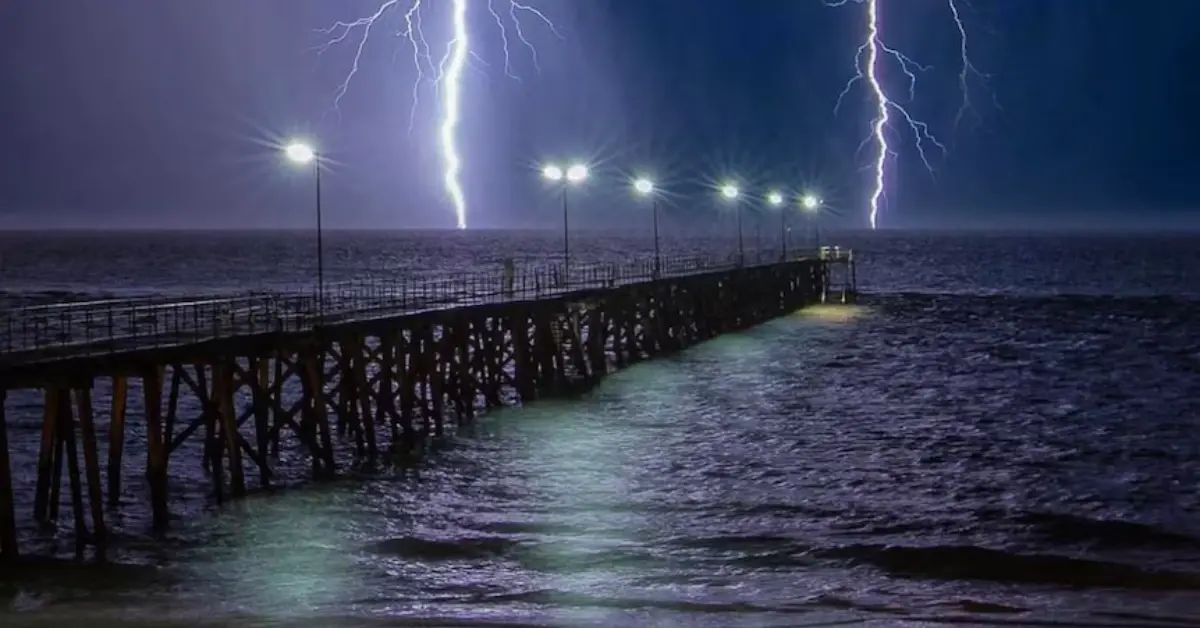
Coastal flooding concerns persist through Sunday, driven by high surf and king tides. The system may also bring isolated thunderstorms early Saturday, particularly along the coast. Another light rain event is anticipated late Sunday into Monday, followed by dry, warmer conditions midweek.
Residents are urged to stay alert for localized flooding, strong winds, and hazardous beach conditions.
A powerful storm is barreling toward Northern California, bringing with it a combination of heavy rainfall, gusty winds, and coastal flooding that could significantly impact the region in the coming days. Weather experts are warning residents to prepare for potentially dangerous conditions, including hazardous driving, power outages, and flood risks. As the storm approaches, authorities are urging the public to take necessary precautions to stay safe.
What to Expect from the Incoming Storm
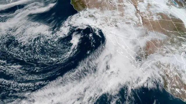
The storm, expected to arrive later this week, is being closely monitored by the National Weather Service (NWS) and other meteorological agencies. Forecasters predict that Northern California will experience a series of weather threats, including:
1. Heavy Rainfall
One of the most significant dangers from this storm will be the heavy rainfall, which could lead to flash flooding and mudslides in some areas, particularly those that have already experienced rainfall in recent weeks. The rain will likely begin in coastal areas and spread inland as the storm progresses, with totals expected to reach 2 to 4 inches in many locations. In some mountainous regions, rainfall could accumulate even higher, with up to 6 inches possible.
The rain, combined with the already saturated ground from previous storms, increases the risk of flooding in rivers and streams. Localized flooding may occur in urban areas, especially in areas prone to poor drainage or near low-lying regions.
2. High Winds
Along with the rain, strong winds are expected to whip through Northern California. Gusts could reach up to 50 miles per hour in some areas, particularly along coastal regions and in higher elevations. These high winds could lead to downed trees and power lines, resulting in widespread power outages.
National Weather Service upgrades Williamston tornado to EF2
Winter Weather Warnings Issued Nationwide as Snow Expected This Weekend
Motorists, especially those driving high-profile vehicles, should be cautious, as gusty winds could make driving difficult. Strong winds also pose a risk to outdoor activities, such as hiking and camping, and could damage structures that are not adequately secured.
3. Coastal Flooding
Coastal areas are likely to experience significant flooding due to both the heavy rain and the rising tides. The storm’s timing coincides with a higher-than-normal tidal cycle, which could exacerbate the flooding risk along the coast. Beaches, piers, and low-lying areas may see inundation, and residents are advised to avoid areas near the shoreline during the peak of the storm.
The combination of high winds, rough seas, and coastal flooding could also affect local shipping and transportation, with disruptions to ferry services and other maritime activities possible.
Areas Most at Risk
Northern California counties, including San Francisco, Marin, Sonoma, Mendocino, and parts of Humboldt, are expected to be hardest hit by this storm. Coastal towns and low-lying areas should take the necessary precautions to avoid flooding, while those in the foothills and mountains may face the additional risk of mudslides and debris flows.
Cities like Oakland, Berkeley, and Sacramento could experience urban flooding, particularly in areas with poor drainage systems. Travelers along highways such as I-5 and I-80 may encounter difficult conditions, and road closures are possible in flood-prone or landslide-risk areas.
Safety Tips and Preparedness
As the storm approaches, Northern Californians are encouraged to take proactive steps to protect themselves and their property. Here are a few key safety tips to keep in mind:
1. Stay Informed
Keep up with the latest weather alerts and advisories from the National Weather Service and local authorities. Make sure your phone is charged, and consider setting up alerts to receive real-time updates about the storm’s progress.
2. Prepare for Power Outages
With the possibility of downed trees and power lines, it’s essential to prepare for power outages. Have flashlights, batteries, and other emergency supplies on hand. Consider stocking up on bottled water and non-perishable food in case power disruptions last for an extended period.
3. Avoid Driving in Dangerous Conditions
If possible, avoid driving during the heaviest rain and wind. If you must travel, take extra precautions, such as slowing down, maintaining a safe distance from other vehicles, and avoiding flooded areas. Highways prone to flooding or landslides should be avoided if possible, and drivers should be prepared for sudden closures.
4. Secure Outdoor Items
If you have any outdoor furniture or loose items in your yard or balcony, secure them to prevent them from being blown around by the strong winds. Flying debris can be dangerous, and securing loose items can also help protect your property from damage.
5. Flood-Proof Your Home
If you live in a flood-prone area, consider moving important items to higher ground and ensuring that any flood barriers or sandbags are in place. Be aware of flood-prone routes and avoid them if flooding is anticipated.
What’s Next?
As Northern California braces for the incoming storm, residents should stay alert and be prepared for rapidly changing conditions. Meteorologists will continue to monitor the storm’s progress, and further warnings may be issued as the system approaches. Communities in the hardest-hit areas may experience flooding, power outages, and property damage, but with adequate preparation, the storm’s impact can be minimized.
In the coming days, authorities will likely announce additional advisories or emergency declarations if conditions worsen. For now, the focus is on ensuring public safety and mitigating the impact of what is shaping up to be a significant and disruptive storm.
Conclusion
The incoming powerful storm is poised to bring heavy rain, high winds, and coastal flooding to Northern California, with significant risks for residents and travelers.
By staying informed and taking necessary precautions, individuals can better protect themselves and their property from the storm’s potential hazards. As the storm unfolds, continue to monitor weather updates and heed local authorities’ warnings to ensure your safety during this challenging weather event.

