 by
by Albuquerque, NM – A potent mid-week storm system is set to deliver widespread moisture to New Mexico, bringing soaking rain to many communities and significant mountain snowfall from Wednesday afternoon through early Friday.
According to the National Weather Service in Albuquerque, the highest-elevation peaks — especially in the Sangre de Cristo Mountains — may see 10 inches or more of accumulation, with some ridgelines approaching one foot or higher as the system strengthens.
Mid-Week Storm to Bring Widespread Rainfall
Forecasters expect moisture to spread across central and northern New Mexico beginning Wednesday afternoon. Much of the lower terrain will see steady rainfall, while the mountains experience increasingly heavy snow as temperatures cool.
The weather service projects 0.25 to 1 inch of widespread rain through Friday, with the potential for locally higher totals in south-central New Mexico, where pockets of slower-moving thunderstorms may form. These convective bursts may increase precipitation rates dramatically for short periods.
“Heavy precipitation rates may temporarily push snow levels down by as much as 1,000 feet,” the weather service noted, warning that even mid-elevation routes could become slick during the heaviest bands.
Snow Levels to Fall and Create Travel Hazards
Snow levels will begin the event very high — hovering near 9,500 feet Wednesday evening — before dropping steadily as colder air filters into the state. By late Thursday night into early Friday, snow levels may fall to 7,500–8,000 feet, setting the stage for accumulating snow at elevations that typically avoid early-season impacts.
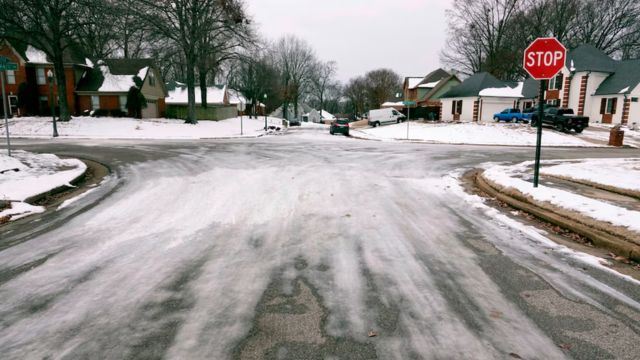
This trend raises concerns for high mountain passes, where even brief periods of heavy snow may create reduced visibility, icy stretches, and rapidly changing road conditions.
A Winter Weather Advisory may be issued for portions of the northern mountains if forecast confidence continues to increase.
Heaviest Accumulations Expected in the Sangre de Cristo Mountains
The core of the storm’s snowfall potential is centered on the Sangre de Cristo range, including areas surrounding Taos, Angel Fire, Eagle Nest, and Pecos. Forecast probabilities show a strong chance of at least 4+ inches across many high-elevation communities, with the highest peaks likely exceeding 10 inches.
The tallest ridgelines could receive a foot or more, depending on how long the heaviest moisture bands remain over the region. These amounts could be enough to cause plowing delays, brief travel closures, or significant slowdowns for anyone driving over high passes.
Other mountainous zones, including the high terrain above Los Alamos and parts of the rugged country west of the Rio Grande Valley, are also expected to see meaningful accumulations above 9,000 feet.
When Conditions Will Be Most Dangerous
The most hazardous window for travel will likely occur from Wednesday evening through Thursday night, when snow levels begin their pronounced drop and moisture remains plentiful.
Read Also: Wheatfield, NY Holiday Event: Santa Arrives with Fire Department on Dec. 6
Wind gusts may enhance impacts in exposed mountain corridors, adding to visibility concerns at pass elevations. The combination of heavy snow rates and fluctuating snow levels may lead to rapidly changing conditions that catch drivers off guard.
“Travelers heading over high passes should prepare for winter driving conditions,” forecasters advised, urging drivers to monitor real-time updates and check road conditions before departing.
Preparing for the End-of-Week Storm
With the potential for accumulating snow at mid-to-high elevations, state officials and emergency managers emphasize the importance of early preparation. Motorists planning to travel across northern New Mexico between Wednesday evening and early Friday should pack winter gear, allow extra travel time, and be prepared for unexpected slowdowns or detours.
For lower-elevation communities, the system’s rainfall will help build soil moisture heading into the winter season — beneficial for drought-affected areas — but heavy bursts may still produce ponding on roads and reduced visibility under darker skies.
Communities in the central and northern portions of the state can follow updates on the National Weather Service Albuquerque forecast page and monitor alerts as conditions evolve.
Stay informed with more regional news and stories at mikeandjonpodcast.com.