Marin County, California — Floodwaters inundated parts of Marin County on Friday as the Bay Area entered a high-risk period driven by king tides, elevated ocean levels, and an approaching storm system, prompting coastal flood warnings and concerns about additional road closures and property impacts through the weekend.
Low-lying neighborhoods near Larkspur and Corte Madera were among the first to see impacts, underscoring how vulnerable shoreline communities are during this convergence of astronomical tides and storm surge.
Flooding reported in Larkspur and Corte Madera
By midday Friday, floodwater was reported along Lucky Drive and Dougherty Drive, where streets became impassable and nearby businesses were affected. A gym location in Corte Madera temporarily shut down after water entered the building, with people seen attempting to remove water using buckets.
Local officials urged residents in flood-prone areas to remain alert, particularly during morning high tides, when water levels are expected to peak over the next two days.
Coastal Flood Warning issued across North Bay
According to the National Weather Service, a Coastal Flood Warning is in effect for the shoreline and interior valleys of the North Bay from 7 a.m. Friday through 2 p.m. Saturday.
In addition, a Coastal Flood Advisory remains in place for coastal areas stretching from Sonoma County south to Monterey County through 2 p.m. Sunday, signaling ongoing risks even outside the warning area.
“Significant coastal flooding is expected due to high astronomical tides and storm surge,” the weather service said.
“Up to 2.5 feet of inundation above ground level is possible in low-lying areas near shorelines and tidal waterways.”
Forecasters also warned that numerous roads could be closed, and that homes, businesses, and critical infrastructure in low-lying areas may be impacted.
King tides pushing water levels to rare heights
Tide gauges around the Bay Area are showing unusually high readings. At the San Francisco tidal gauge, Friday morning’s high tide reached 2.2 feet above normal, according to forecasters.
Saturday’s high tide, expected around 10:26 a.m., could rise to 2.5 feet above normal — a level not seen in the region since 1998. Sunday’s high tide is forecast to reach 1.9 feet above normal, keeping flood risks elevated through the weekend.
These king tides, among the highest of the year, are being intensified by several overlapping factors, including:
- A full moon on Saturday
- Perihelion, when Earth is closest to the Sun in its orbit
- An expected storm surge of up to 1.3 feet, according to forecasters
Together, these forces significantly raise coastal water levels even before rainfall is factored in.
Incoming storm adds wind and rain threat
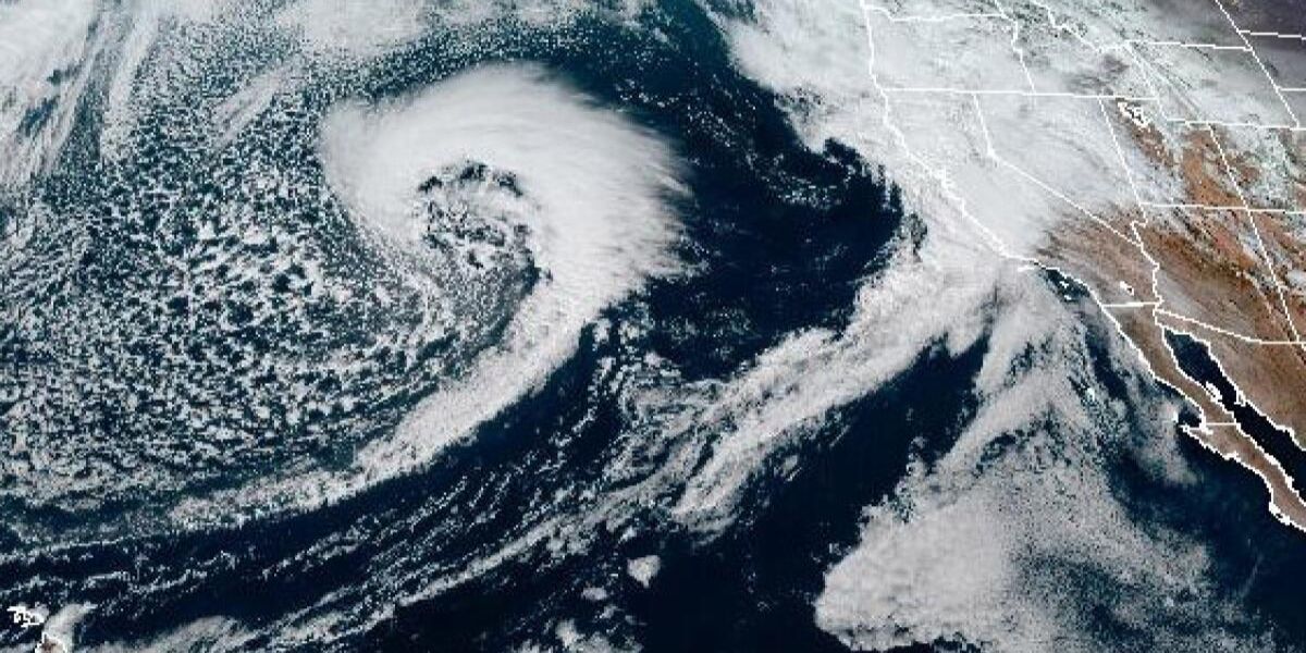
While rain briefly eased Friday morning, meteorologists say a strong storm system is set to move into the Bay Area Friday night into Saturday morning, compounding flood concerns.
The storm is expected to bring:
- Sustained winds of 15–25 mph
- Wind gusts up to 50 mph along the coast and higher terrain
- About ½ inch of rain overnight for many areas
- Up to 3 inches of rain in coastal mountain regions
- Lighter totals near ¼ inch in rain-shadowed valleys
Read Also: D.C. Weekend Guide: What’s Happening Across the Region to Start 2026
Because of the wind threat, the National Weather Service has issued a Wind Advisory covering:
- North Bay mountains
- San Francisco
- East Bay hills
- Coastal areas
- All of Monterey and San Benito counties
The advisory remains in effect from 1 p.m. Friday through 1 p.m. Saturday.
Road closures and erosion concerns possible
Forecasters warned that shoreline erosion may occur during the highest tides, especially where strong winds push water inland. Flooding could worsen near storm drains, creeks, and tidal waterways, where runoff has nowhere to escape during peak tides.
Residents in flood-prone neighborhoods are advised to:
- Avoid driving through flooded roads
- Move vehicles to higher ground where possible
- Secure property near shorelines
- Monitor tide times closely, especially during morning hours
Officials also cautioned that conditions may change rapidly if storm timing overlaps precisely with peak tides.
Bay Area urged to remain vigilant through weekend
Although flooding was initially concentrated in parts of Marin County, meteorologists say additional areas around the Bay could see impacts as the storm and king tides align.
With Saturday morning shaping up as the most critical period, emergency officials are urging residents to stay informed and prepared for extended coastal flooding, even after rainfall tapers off.
Do you live in a low-lying or coastal Bay Area neighborhood? Share what conditions look like near you in the comments and stay connected for updates as the storm unfolds.


