 by
by Baltimore, Maryland — The first weekend of 2026 will feel firmly wintry across Maryland, with cloudy skies, below-freezing mornings, and a chance for scattered flurries, before a noticeable shift in the national weather pattern opens the door to a January thaw next week. While no major winter storms are expected locally, the cold will linger just long enough to remind residents that winter is far from over.
Forecasters say the calm, chilly setup will give way to much milder air by midweek, bringing a welcome break from recent cold as temperatures climb well above seasonal averages.
Scattered flurries possible Saturday evening
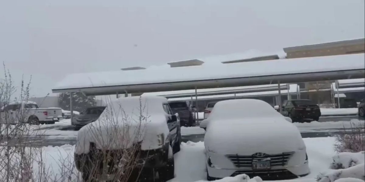
Saturday starts cold and gray across much of the state. Morning temperatures will sit in the low to mid-20s, gradually warming into the low to mid-30s by mid-afternoon.
Maryland will be positioned between two storm systems — one tracking well to the north and another staying to the south. Because of this setup, significant snowfall or accumulation is not expected. However, the squeeze between these systems could still produce scattered flurries or very light snow showers late Saturday.
The best chance for flurries will be between 8 p.m. Saturday and 2 a.m. Sunday, especially across central and northern Maryland. Any snow that does fall is expected to be brief and light, with no accumulation anticipated.
Sunday stays cold with gusty northwest winds
Sunday will remain chilly and blustery as a gusty northwest wind moves in behind the passing systems. While skies may offer occasional breaks in cloud cover, the cold air will keep daytime highs limited, reinforcing a winter feel across the region.
Wind chills will make it feel colder than actual temperatures, particularly during the morning and evening hours.
Seasonable cold continues early next week
The first full workweek of 2026 begins with seasonably cold conditions still in place.
Monday is expected to bring widespread cloud cover and afternoon highs in the mid to upper 30s, close to average for early January. A few snow flurries are possible north of Interstate 70, but once again, no accumulation is expected.
Travel impacts early next week should remain minimal, though residents may notice slick spots during overnight and early morning hours where temperatures gradually fluctuate.
January thaw begins Tuesday
A noticeable change arrives by Tuesday, as milder air begins pushing into the Mid-Atlantic. Temperatures will slowly climb, signaling the start of a broader warm-up that extends well beyond Maryland.
The real temperature surge arrives Wednesday into Thursday, when afternoon highs are forecast to reach the 50s across much of the state — a significant jump from the weekend’s cold.
Read Also: D.C. Weekend Guide: What’s Happening Across the Region to Start 2026
Milder air sticks around into next weekend
Forecast models suggest the January thaw may last several days, with mild conditions potentially extending into next weekend. While early next week should stay mostly dry, rain chances increase Thursday into Friday, with one or two rounds of showers possible.
Despite the warmer temperatures, forecasters caution that winter is not over. The current outlook suggests the region could return to a colder and more unsettled pattern by mid-January, once the warm spell fades.
What residents should expect
- Cold, cloudy weekend with flurries possible Saturday night
- No snow accumulation expected
- Breezy and chilly Sunday
- Gradual warm-up starting Tuesday
- Highs in the 50s by midweek
- Rain chances return late next week
For now, Marylanders are encouraged to layer up this weekend, then enjoy the brief taste of springlike weather set to arrive next week.
Are you ready for the January thaw, or do you prefer winter sticking around a bit longer? Share your thoughts in the comments and join the conversation.