 by
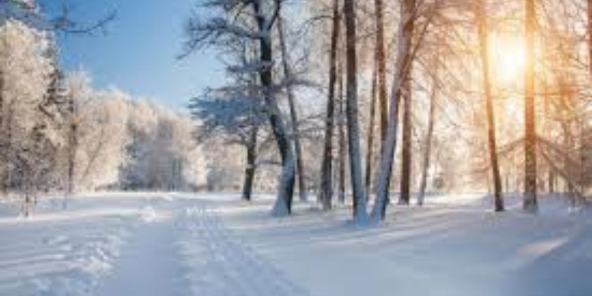
by Minneapolis, MN – A powerful surge of Arctic air building across northern Canada is set to plunge southward into large parts of the central and eastern United States, bringing the coldest temperatures of the season so far and potentially dangerous conditions for millions of residents.
Meteorologists say the incoming air mass is exceptionally cold, with temperatures in northwestern Canada ranging from 20 to 30 degrees below zero Fahrenheit, and it is now advancing southeast into the U.S.
“There is a massive area of air in northwestern Canada where temperatures are 20 to 30 degrees below zero Fahrenheit, and it is on its way southeastward into the U.S.,” said AccuWeather Chief On-Air Meteorologist Bernie Rayno, calling it “the mother lode of cold air.”
Coldest Temperatures of the Season Arrive
The frigid outbreak will first impact the Northern Plains and Upper Midwest, before spreading into the Midwest, Tennessee Valley, and much of the Appalachians. While the air mass will moderate slightly as it moves south, conditions will remain severe.
“The coldest air of the season so far is on the way for portions of the Midwest, Tennessee Valley and much of the Appalachians,” said AccuWeather Lead Long-Range Meteorologist Paul Pastelok.
In Minneapolis, daytime temperatures may struggle to rise above zero, with overnight lows dipping between 10 and 20 degrees below zero on Friday and Saturday nights. AccuWeather RealFeel® Temperatures could plunge another 10 to 20 degrees lower due to wind.
“Exposure or those without shelter in these conditions, especially with blustery winds, can lead to hypothermia or frostbite in less than 30 minutes,” Pastelok warned.
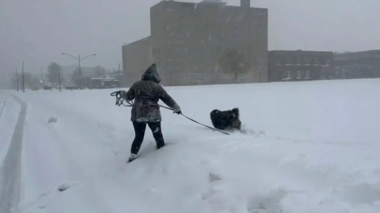
Major Cities Face Dangerous Wind Chills
In Chicago, temperatures are expected to barely reach the single digits on Saturday before falling well below zero overnight. RealFeel® values are forecast to stay below zero throughout the weekend, creating hazardous conditions for outdoor activities.
Farther east, the dense Arctic air will remain trapped in the lower atmosphere and may have difficulty crossing the Appalachian Mountains. However, cities east of the mountains, including Washington, D.C., Philadelphia, New York City, and Boston, are still expected to see temperatures approach or exceed the lowest readings recorded earlier this week.
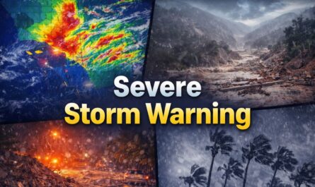
If a storm system brings the first accumulating snow of the season to parts of the East this weekend, forecasters warn that temperatures could drop sharply afterward.
Polar Vortex Disruption Behind the Cold
Meteorologists attribute this Arctic outbreak to a weakening and displacement of the polar vortex, a pattern that has driven several cold blasts in recent weeks.
“The frigid pattern triggered by the recent disruption of the polar vortex will hold its grip over much of the central and eastern U.S. into next week,” Pastelok said.
The prolonged cold is expected to strain household budgets, with heating systems running almost continuously. Officials caution that in unheated spaces, water pipes could freeze and burst, causing costly damage.
Pattern Shift Brings Hope Before Christmas
Despite the intensity of the mid-December cold, forecasters say a pattern shift next week should gradually push the coldest air out of the United States before Christmas.
“While it may feel like Christmastime already with the cold and snow, the bitterly cold pattern is not expected to last through the holidays,” Pastelok said.
As temperatures rise, much of the snowpack added by weekend clipper storms is expected to erode. Skiers and snowboarders are encouraged to take advantage of current conditions, especially in the Appalachians, as warmer air could reduce snow quality closer to Christmas.
“Don’t assume because it is cold and snowy now that it will be so on Christmas Day,” Pastelok added.
Where to Find Milder Weather
For those seeking relief this weekend, milder conditions will persist across the Florida Peninsula and much of the western United States, though fog may linger in California’s Central Valley and flooding remains a concern in parts of the Pacific Northwest.
As the Arctic air surges south and then slowly retreats, officials urge residents to dress in layers, limit outdoor exposure, check on vulnerable neighbors, and ensure heating systems are functioning properly.
Share how this cold spell is affecting your area and how you’re preparing for it in the comments below.