 by
by MJP –
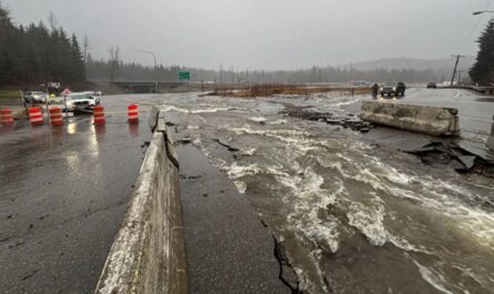
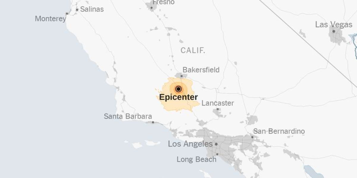
The United States Geological Survey said that on Tuesday, a 5.2-magnitude earthquake hit Southern California.
According to the data from the agency, the earthquake occurred at 9:09 p.m. Pacific time, approximately 14 miles southwest of Lamont, California.
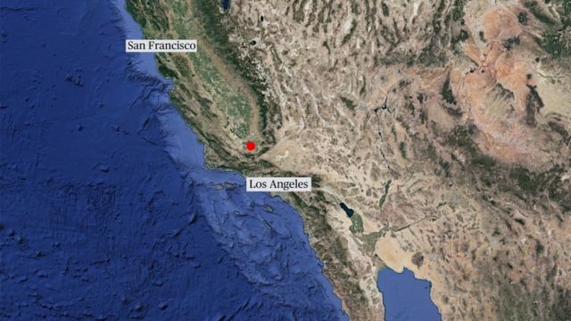
Image – NBC News
Reports of the earthquake’s magnitude may be revised as more data is analyzed by seismologists. As further data becomes available regarding the earthquake, scientists from the U.S. Geological Survey may decide to revise the shake-severity map.
SEE MORE –
California Earthquake: 5.3 Magnitude Quake Hits as ‘Shake Alert’ Surprises Residents
The term “aftershock” refers to a lesser earthquake that occurs close to a bigger one. Relative to the main earthquake, aftershocks are usually little shifts along the fault line that shifted.
Seismic aftershocks can happen soon after an earthquake or years later. Seismic aftershocks can be just as powerful, if not stronger, than the original earthquake, and they can keep picking up where the first one left off.