 by
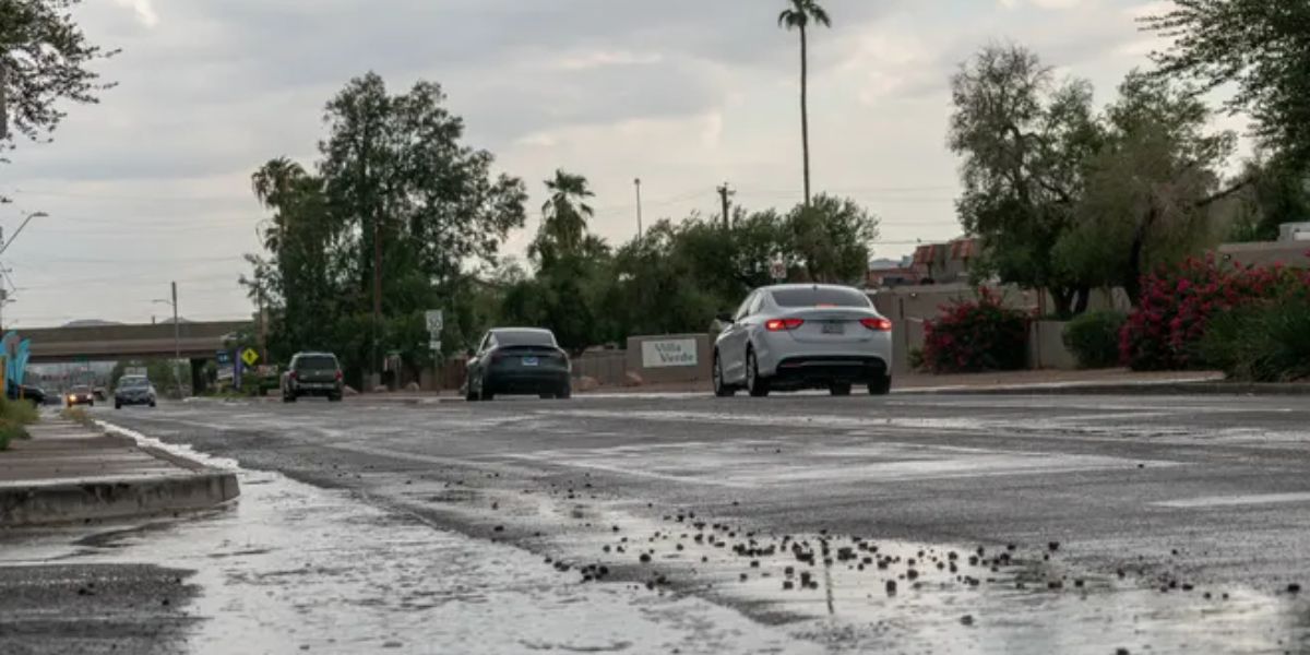
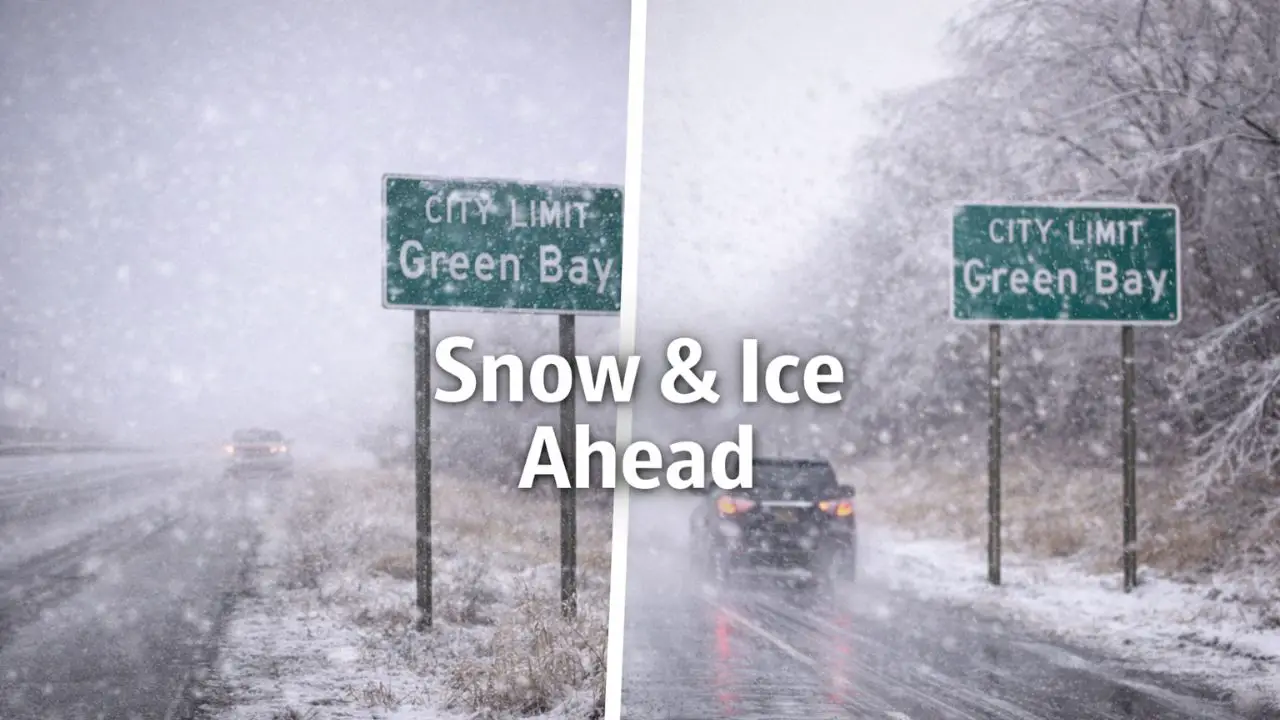
by Green Bay, Wisconsin — The sound of tires hissing on wet pavement early this morning may feel routine, but conditions across northeast Wisconsin are on the verge of a sharp turn. A developing wintry system moving in from the west is expected to bring snow, ice, and freezing rain, creating hazardous travel conditions that could intensify quickly after sunset.
Meteorologists warn that post-Christmas travel plans may be disrupted as temperatures hover near freezing and precipitation types change rapidly.
Wintry System Arrives Later Today
According to the National Weather Service office in Green Bay, light snow spreads into north-central Wisconsin this afternoon, gradually pushing east toward the Green Bay metro by evening.
As colder air lingers near the surface, precipitation is expected to transition overnight into a widespread mix of snow, sleet, freezing rain, and rain. Northern counties are more likely to remain snow-dominant, while areas farther south trend wetter, increasing the risk of freezing rain where surface temperatures stay near 32 degrees.
Friday Morning Brings Highest Risk
The most hazardous period is expected Friday morning, when freezing rain becomes more widespread across the region. Forecasts indicate up to one-tenth of an inch of ice accumulation for many locations.
Locally higher ice totals are possible along and north of Highway 29, where repeated transitions between snow and rain favor ice buildup. Even small amounts of ice can make untreated roads dangerously slick in a short amount of time.
Travel Impacts Likely Across Northeast Wisconsin
Drivers should prepare for significant travel impacts, particularly during the early-morning commute. Slippery surfaces are expected along I-41, Highway 29, and rural county roads, where treatment may lag behind rapidly changing conditions.
Visibility could drop during heavier bursts of snow or mixed precipitation, and braking distances increase sharply on icy pavement. Officials urge drivers to slow down, leave extra space between vehicles, and plan for delays if travel is necessary.
Ice May Stress Trees and Power Lines
While this system is not expected to produce widespread damage, minor tree damage and isolated power outages are possible. Ice accumulation on branches and power lines, combined with occasional gusty winds, may place added stress on already weighted trees.
Residents are encouraged to charge devices ahead of time and secure flexible travel plans in case conditions deteriorate more than expected overnight.
Conditions Improve Gradually Friday Afternoon
Precipitation begins to taper off Friday afternoon, with rain becoming more dominant from south to north as slightly warmer air works into the region. Even as active precipitation ends, hazards may linger.
Read Also: Illinois Holiday Weather: Low Visibility Now, Rain Friday, Freeze Next
Cold ground temperatures mean slick spots could persist, especially in shaded areas, on bridges, and on less-traveled roads that do not warm as quickly. Motorists should remain cautious well into the afternoon hours.
Weekend Outlook and Ongoing Monitoring
This system serves as a reminder that winter travel risks remain elevated heading into the final weekend of December. Meteorologists note that small temperature shifts of just one or two degrees could significantly change precipitation types and impacts.
Forecasters continue to monitor the system closely and stress the importance of checking updated advisories and road conditions before heading out, especially during overnight and early-morning hours.
What to Watch Closely
- Snow spreading in this afternoon
- Freezing rain overnight into Friday morning
- Up to 0.10 inches of ice, with higher local amounts
- Slick roads on major highways and rural routes
- Lingering icy spots even after precipitation ends
As northeast Wisconsin moves through another active winter system, preparation and caution remain key. Staying weather-aware could make the difference between a routine drive and a dangerous one.
Are you seeing slick roads or changing conditions where you live? Share what you’re experiencing in the comments below.