 by
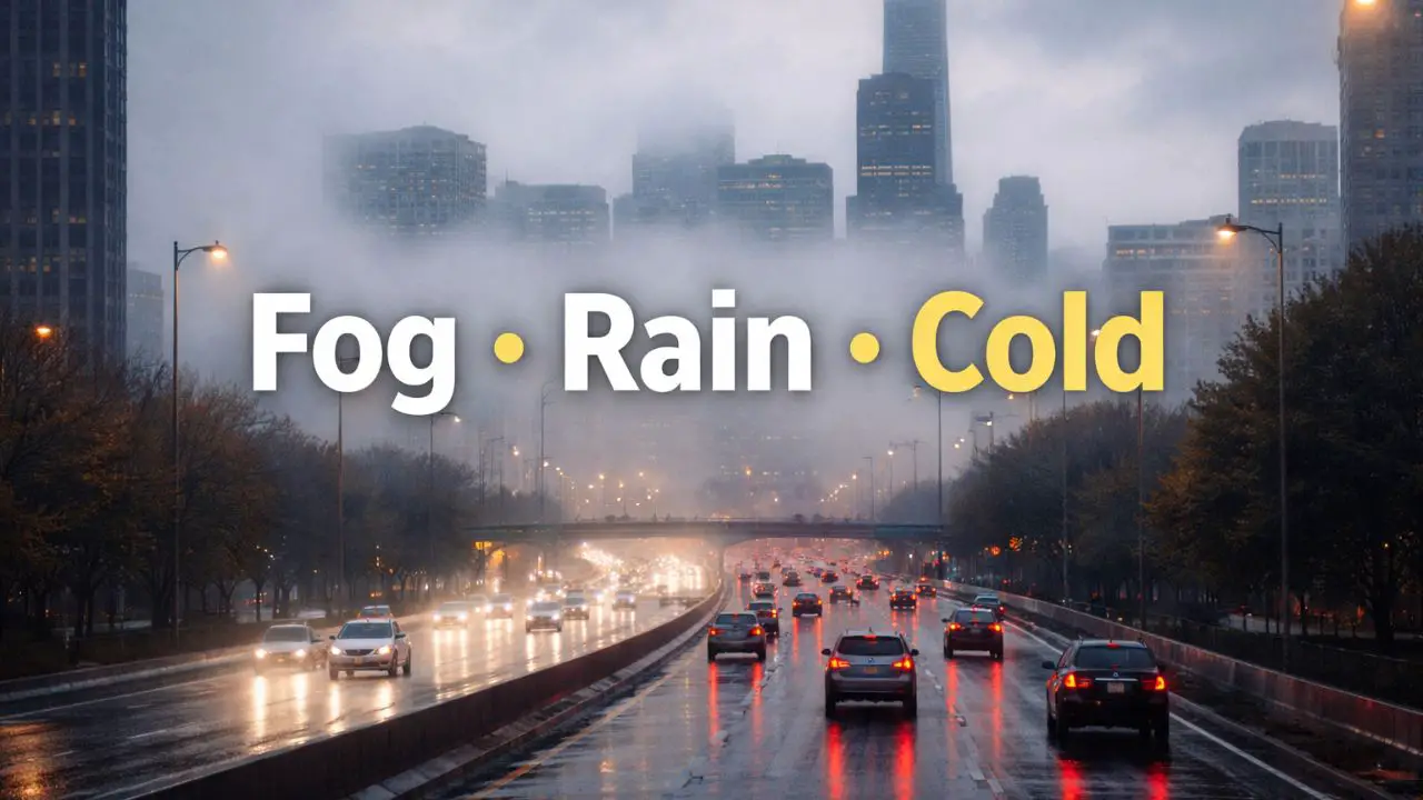
by Chicago, Illinois — Holiday travel across northern Illinois is getting underway under low clouds, patchy fog, and lingering drizzle, conditions that can quietly complicate driving even without snow. While the region avoids major winter storms this week, forecasters warn that visibility issues now, rain by Friday, and a sharp cold snap this weekend will require attention from travelers and commuters.
According to the National Weather Service office in Chicago, the primary hazards through midweek will come from fog and damp roadways, rather than ice or snow.
Fog and Drizzle Set the Tone Today
Much of northeastern Illinois begins the day under low clouds and light drizzle, with patchy fog reducing visibility, especially during the morning hours. Temperatures hover near 43 degrees, warm enough to prevent icing but cool enough to keep pavement slick.
Drivers along major corridors — including I-90, I-94, and Lake Shore Drive — may notice fluctuating visibility as fog thickens and thins through the morning. Officials recommend using headlights, increasing following distance, and allowing extra braking time.
While road conditions are not icy, the combination of moisture and traffic volume can still increase accident risk during peak travel periods.
Tonight Brings More Fog, Damp Roads Persist
Drizzle may continue on and off into tonight, with fog redeveloping late in the evening and overnight. With temperatures staying above freezing, widespread ice is not expected, but roads may not fully dry, especially in shaded or low-lying areas.
Holiday travelers heading out late tonight or early Wednesday should remain cautious, particularly on ramps and elevated roadways where moisture can linger.
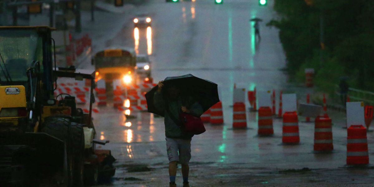
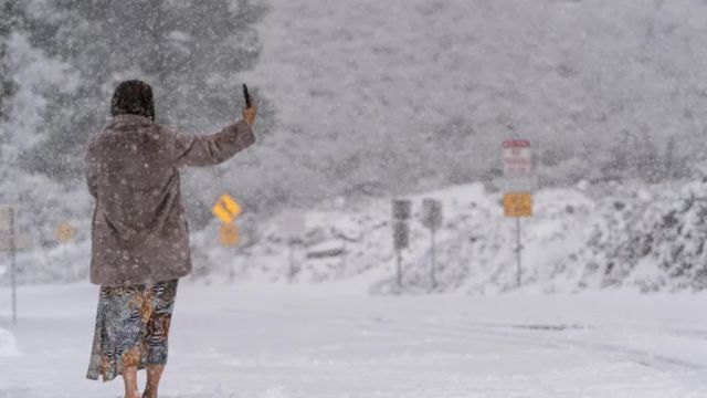
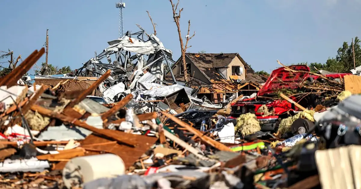
Read Also: Storms, Fires, and Flooding Lead to Emergency Declarations Across California
Christmas Day: Cloudy but Mostly Dry
Christmas Day stays cloudy and seasonably cool, with highs near 40 degrees across the Chicago area. No snow is expected, and most of the day should remain dry.
However, forecasters note that lingering moisture from earlier drizzle could keep pavement damp in spots. While conditions improve overall, drivers should still watch for slick areas, particularly in shaded sections and along lakefront roads.
For those attending holiday gatherings or church services, weather-related disruptions should remain minimal.
Rain Returns Late Thursday Into Friday
The next notable change arrives late Thursday night into Friday, when rain chances increase across northern Illinois. By early Friday, rain becomes likely, with daytime highs near 45 degrees.
Wet roads may affect travel during both the morning and afternoon commutes, especially as post-holiday travel picks up. While rainfall amounts look manageable, steady precipitation can slow traffic and reduce braking efficiency.
Forecasters do not expect thunderstorms or severe weather, but extended periods of wet pavement could lead to backups on busy interstates and urban routes.
Weekend Travel Looks Manageable — At First
By Friday night, clouds remain, and temperatures slip into the upper 30s. Roads may stay damp overnight, setting the stage for potential issues once colder air moves in.
Saturday, December 27, brings mostly cloudy skies with highs near 45 degrees, keeping post-Christmas travel conditions largely manageable. Winds stay light, and no significant precipitation is expected.
This brief window of calm may be the best opportunity for longer-distance travel before colder air settles in.
Sharp Cold Snap Raises Black Ice Risk
A more dramatic pattern shift arrives late Sunday into early next week. Overnight lows are forecast to plunge into the teens, marking one of the coldest stretches so far this season.
With temperatures dropping quickly, any leftover moisture on roadways could freeze after dark, creating a black ice risk — particularly on bridges, overpasses, and exit ramps. These conditions can develop rapidly and be difficult to spot.
Drivers are urged to slow down during nighttime and early morning hours early next week, even if roads appear clear.
Quiet Weather, Subtle Hazards
While major winter storms are impacting other parts of the country, including heavy rain in California and snow across the Northeast, Illinois’ hazards arrive more quietly — through fog, drizzle, and timing.
Forecasters emphasize that low-visibility conditions and sudden temperature drops often lead to accidents even without snow or ice falling from the sky.
Four-Day Outlook – Chicago, IL
- Today: Drizzle and fog, high near 43°
- Christmas Day: Cloudy, high near 40°
- Thursday Night: Rain likely late, low near 36°
- Friday: Rain likely, high near 45°
- Saturday: Mostly cloudy, high near 45°
The bottom line: Illinois avoids major winter storms this week, but fog, rain, and a sharp cold snap still pose travel risks. Staying alert to changing visibility and temperature swings will be key as the holiday travel period continues.
Are you traveling through Illinois this week, or staying put until the cold snap passes? Share your plans and road conditions in the comments.