 by
by Los Angeles, California — Southern California is enjoying a stretch of mild, above-average temperatures, but forecasters say a significant weather shift is on the horizon just as the Christmas holiday approaches. Confidence is growing that a strong storm system will bring widespread rain to much of the region next week, potentially impacting travel plans and holiday activities.
Meteorologists say the calm conditions won’t last much longer, with rain chances rising sharply by midweek.
Warm and dry conditions linger through Friday
Through the end of the workweek, Southern California is expected to remain unseasonably warm, with daytime highs running above normal for late December. Skies will stay mostly clear, and travel conditions should remain favorable through Friday.
Forecasters say this brief break is tied to a lingering ridge of high pressure, but that pattern is expected to weaken heading into the weekend.
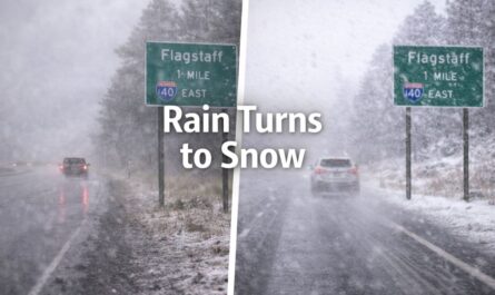
First showers possible along the Central Coast
According to the National Weather Service, the first signs of change could arrive as early as late Sunday, particularly along the Central Coast.
Light showers may develop first in:
- San Luis Obispo County
- Santa Barbara County
These early showers are expected to be spotty, but they signal the beginning of a more active weather pattern that will expand southward.
Stronger storm targets Christmas week
The main weather system is expected to arrive Tuesday into Wednesday, bringing the most widespread and impactful rainfall.
A National Weather Service outlook released Wednesday shows rain probabilities climbing rapidly by Tuesday night, especially across Los Angeles and Ventura counties, where chances could reach nearly 80% by Wednesday.
Forecasters say this system has the potential to deliver measurable rain across coastal, valley, and mountain areas, making it one of the most notable storms in recent weeks.
How much rain could fall?
Rain totals will vary by location, but current projections suggest:
- 2 to 4 inches of rain in coastal and valley areas
- 4 to 8 inches possible in foothills and mountain regions
These amounts could be significant for areas that have seen limited rainfall recently, increasing the risk of slick roads, minor flooding, and travel delays.
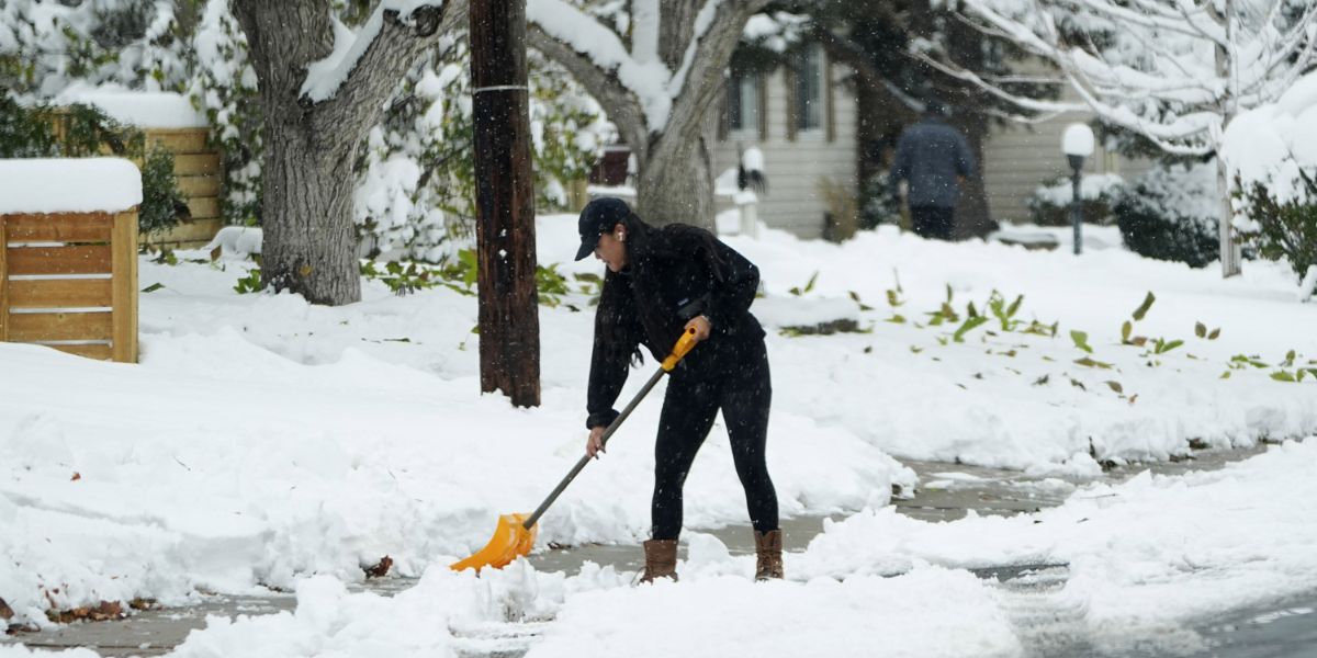
Snow levels remain high, then drop
Snow is not expected to be an immediate concern for lower elevations. Forecasters say snow levels will remain relatively high at the onset of the storm.
Read Also: Broward County Public Schools Approves 2026–27 and 2027–28 School Calendars
However, colder air moving in later could lower snow levels to around 5,000 feet late Christmas Day into Friday, bringing a chance of flurries for higher-elevation communities and mountain passes.
This could impact travel routes through the mountains, especially for those heading out of town after the holiday.
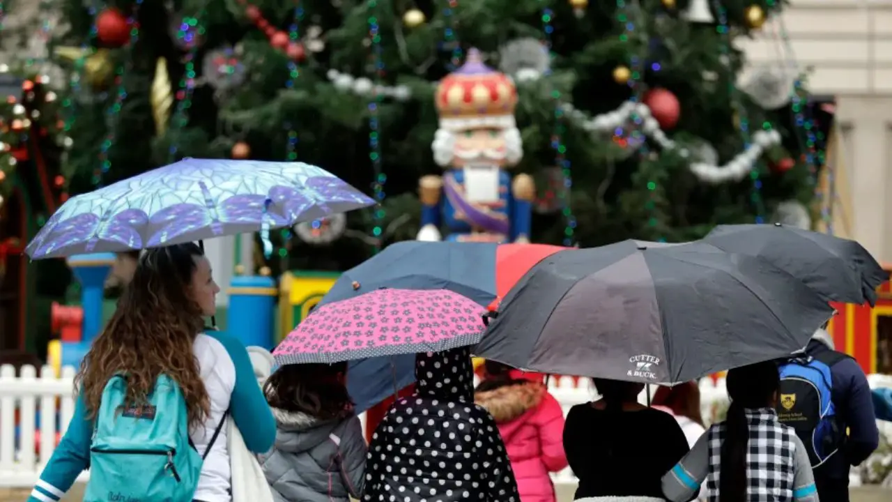
Travel impacts likely during peak holiday period
With rain peaking around Christmas Eve and Christmas Day, meteorologists are urging residents and travelers to plan ahead.
“This could be the most impactful storm in weeks,” the National Weather Service said, warning of slick roads, reduced visibility, and potential delays, particularly in mountain areas.
Drivers are advised to allow extra time, check road conditions before traveling, and remain alert for changing weather conditions.
Active pattern may continue after Christmas
Forecasters say the unsettled weather may not end with the holiday. With winter officially beginning on December 21, Southern California could see a more sustained stretch of cooler, wetter conditions heading into late December.
Meteorologists say the atmosphere is beginning to shift into a more winter-like pattern, increasing the likelihood of additional storms beyond Christmas.
While exact timing remains uncertain, the trend suggests rain chances may stay elevated even after the holiday celebrations wrap up.
What residents should do now
Weather experts recommend using the remaining dry days to prepare:
- Check windshield wipers and tires
- Clear storm drains and gutters
- Secure outdoor decorations
- Monitor updated forecasts, especially if traveling
Those planning mountain trips should also watch for snow advisories later in the week.
As Southern California heads toward Christmas, the long-awaited return of rain may be welcome for drought relief — but it also brings challenges during one of the busiest travel periods of the year.
Do you think this storm will impact your holiday plans? Share your thoughts in the comments.