 by
by Omaha, NE — A sprawling winter storm is sweeping across the northern and central United States this weekend, prompting Winter Storm Warnings and Winter Weather Advisories from the northern Rockies through the Great Lakes and into parts of the Mid-Atlantic.
Broad Winter System Spans the Nation
According to the National Weather Service, the storm is unfolding as a continuous snow band impacting more than a dozen states. Forecasters describe it as “a long-duration winter weather event stretching from Montana through Pennsylvania,” with snow, wind, and pockets of ice combining to create hazardous travel conditions across multiple regions.
Snow continues Friday night across parts of Montana, North Dakota, and South Dakota, where advisories extend into Saturday morning. The NWS reports “widespread totals of 1 to 5 inches across the northern High Plains,” with blowing snow at times significantly reducing visibility. In western Montana, officials warn that “light icing is possible in higher elevations, especially near Marias Pass.”
Midwest Braces for Saturday Snow and Bitter Cold
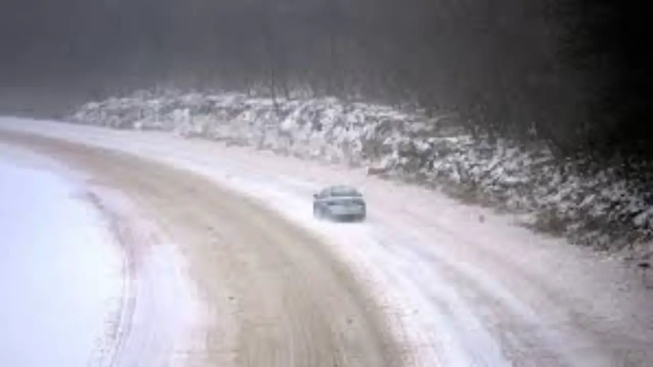
Farther east, the central Plains and Midwest are preparing for increasing impacts on Saturday. Iowa, Nebraska, Missouri, and Illinois remain under widespread advisories, with expected snowfall of “2 to 5 inches across much of the region.”
Meteorologists also caution that colder air trailing behind the snow could create dangerous conditions overnight. Parts of Missouri and Iowa may see “sub-zero wind chills Saturday night,” raising the risk of frostbite and complicating travel. In Illinois, localized higher totals are possible near U.S. Route 24 and Illinois Route 17, where heavier snow bands could develop.
Heavier Snow Targets the Ohio Valley and Appalachians
Snow is forecast to intensify Saturday afternoon across Indiana, Ohio, and Kentucky, continuing into early Sunday. Accumulations are expected to range from “1 to 6 inches depending on location and timing.”
West Virginia and western Pennsylvania are likely to experience the most significant snowfall from this system. The National Weather Service indicates “3 to 10 inches are possible, with the highest totals in ridge-top counties such as Fayette, Randolph, and Pocahontas.” Forecasters also note that “lake-effect snow may extend hazardous travel into Monday morning” across northern Ohio and western Pennsylvania.
Northeast and Mid-Atlantic Also Impacted
The eastern edge of the storm reaches parts of New Jersey, Delaware, and southeast New York late Saturday into Sunday. Winter Weather Advisories remain in effect, with “2 to 4 inches of snow expected” and slick road conditions likely, especially during overnight and early morning hours.
Widespread Travel and Safety Concerns
Due to the storm’s size and duration, officials warn it could disrupt weekend travel, work shifts, and scheduled events across several regions. Transportation agencies urge drivers to slow down, allow extra travel time, and be prepared for rapidly changing conditions. Residents are also advised to monitor local alerts as snowfall totals and timing may vary by location.
Conclusion
This expansive winter storm is affecting a broad swath of the country, delivering snow, wind, and cold from the Rockies to the Northeast. With lingering impacts possible into Monday in some areas, staying informed through local National Weather Service updates and state transportation alerts will be critical.
Share Your Local Conditions
Is your area seeing heavy snow, blowing winds, or icy roads? Share what conditions are like where you live by posting an update in the comments.