 by
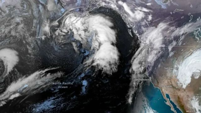
by Southern California, CA — A new storm system is forecast to arrive over Southern California late Wednesday, bringing widespread rain and mountain snow through Friday. While showers will begin gradually, meteorologists warn of heavier rainfall and potential hazards in some areas, particularly near wildfire burn scars.
Gradual Onset with Increasing Rain
According to KTLA, Wednesday will feature mostly improving weather, with a few light showers possible. However, conditions will change quickly.
“But not for long, tomorrow we’ll start seeing the clouds increase and some rain about midday,” DiCarlo said.
The National Weather Service (NWS) predicts a 10% to 20% chance of rain in Los Angeles County late Wednesday night, increasing to over 80% by Thursday evening. DiCarlo added:
“I think we’ll get into that time frame between about noon tomorrow and about midnight tomorrow, where we will see our greatest coverage. We will keep a chance of rain in the forecast all the way through your Friday.”
Rain Totals and Thunderstorm Risk
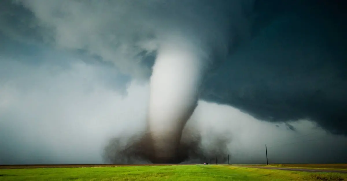
Forecasters said this storm is not expected to produce as much rain as recent systems. However, with the ground already saturated and the potential for thunderstorms, there is concern about mudflows in regions affected by past wildfires.
- Total Rainfall: 0.25 to 1.0 inches, with 1.0 to 2.0 inches expected in mountain and foothill areas.
- Peak Rain Rates: 0.10 to 0.25 inches per hour, up to 0.50 inches per hour during thunderstorms.
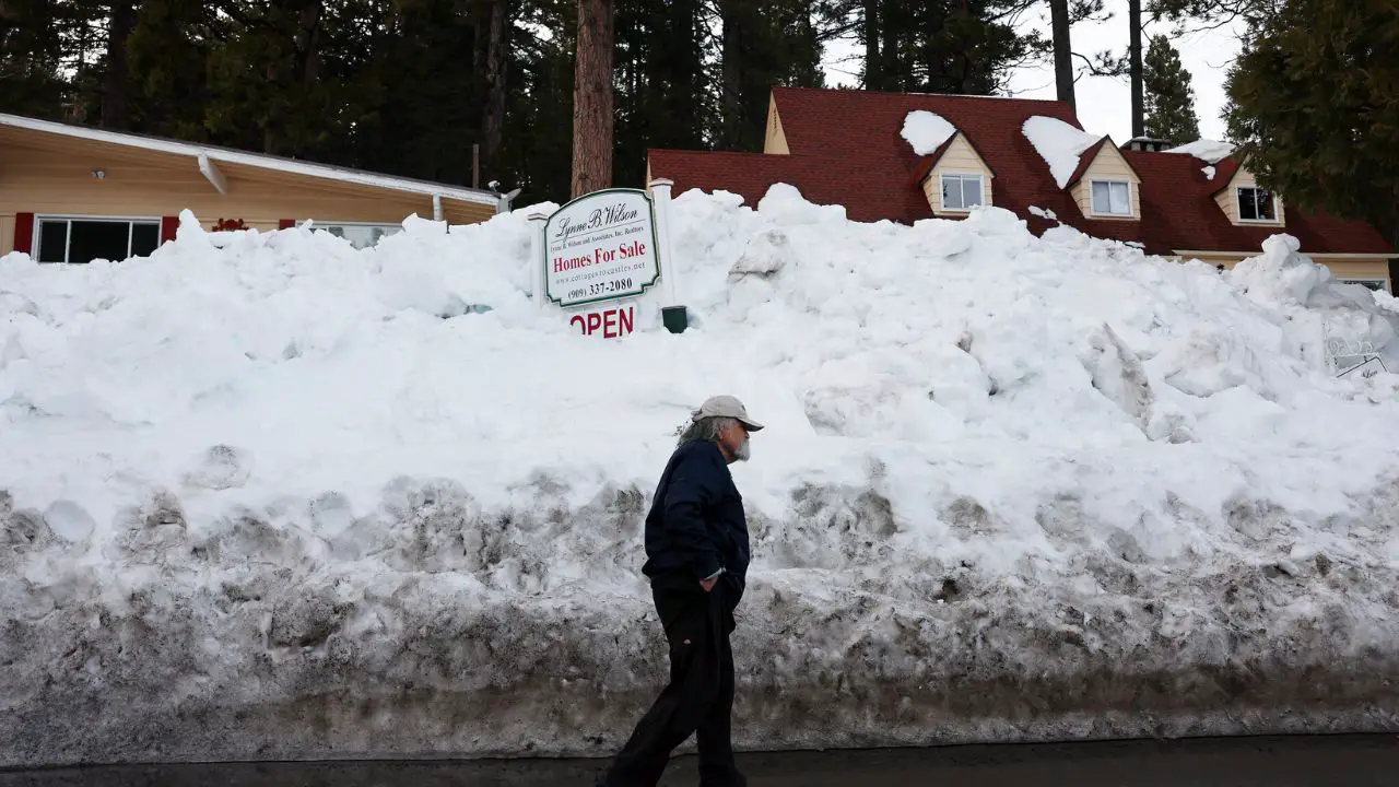
- Snow Totals: 3 to 6 inches above 6,500 feet.
“We will get some decent rain out of this system. We could be looking at another inch-plus in some areas with a chance of thunderstorms,” DiCarlo said. “Most areas are going to come in with half-an-inch or right around that number.”
Officials urge residents in affected areas to remain cautious, particularly along burn scars or in regions prone to flooding and debris flows.
Read Also: New Mexico Mountains Could See Over 10 Inches of Snow from Wed–Fri Storm
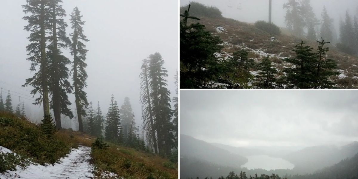
Mountain Snow Accumulations
In addition to rain, the storm is expected to produce 3 to 6 inches of snow in higher elevations above 6,500 feet. While not as severe as previous winter storms, this accumulation could create hazardous driving conditions in mountain passes and foothills. Travelers are advised to monitor road conditions before heading into elevated areas.
Forecast After the Storm
High pressure is expected to build rapidly after the system moves out, bringing warmer and drier weather to Southern California by the weekend. This pattern should provide a brief reprieve, though meteorologists warn that additional storm systems could follow later in the season.
Residents should stay up to date with the latest forecasts from the National Weather Service and local news outlets to plan accordingly.
Preparing for the Storm
Authorities recommend that Southern California residents:
- Clear gutters and drains to reduce flooding.
- Avoid travel in areas prone to mudflows or flooding during heavy rainfall.
- Keep updated on road closures, especially in mountain passes.
- Take precautions in wildfire-affected areas, where saturated soil can trigger landslides.
With these preparations, families and commuters can reduce the risk of accidents or property damage during the storm.
Share Your Experiences
Have you experienced flooding or mudflows in recent storms? How do you prepare for winter weather in Southern California? Share your story and join the discussion at mikeandjonpodcast.com.