 by
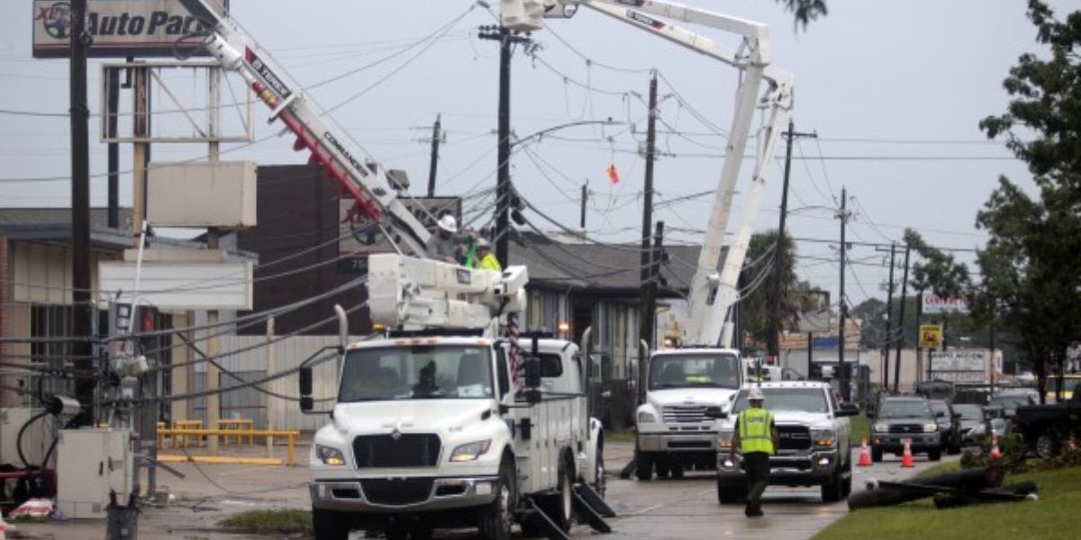
by Houston, TX – A shift in weather is on the way for Southeast Texas as a cold front prepares to move across the region later this week, bringing a noticeable increase in rain and thunderstorms.
Forecasters are urging residents to brace for potentially heavy downpours, slow evening commutes, and minor flooding concerns, especially across areas north and northwest of the Houston metro. With guidance still evolving, meteorologists say timing and rainfall totals may shift as new data becomes available.
Rain and Storms Expected as Cold Front Arrives
The National Weather Service Houston-Galveston says a developing line of showers and thunderstorms is expected to form ahead of and along the incoming cold front. As the system pushes into Southeast Texas on Thursday afternoon and evening, strong storms could become embedded within the line, increasing the risk of sudden heavy rainfall.
According to early projections from the Weather Prediction Center, some of the strongest impacts may occur in the northern and northwestern portions of the Houston region, where a Level 1 of 4 Marginal Risk for excessive rainfall has been issued. This risk category indicates the potential for isolated heavy downpours, capable of quickly overwhelming drainage systems in vulnerable spots.
“While widespread flooding is not currently anticipated, localized issues could develop if storms repeatedly track over the same neighborhoods,” forecasters noted in a recent discussion.
The cold front marks a significant pattern change, bringing cooler air behind it and increasing instability ahead of the boundary. As a result, gusty winds may accompany stronger thunderstorms, particularly during the peak heating hours of the afternoon.
Timing Still Uncertain as Forecast Evolves
Although confidence is growing that the system will bring meaningful rainfall, meteorologists continue to emphasize that Thursday’s exact timeline remains uncertain. Current models suggest showers could begin developing as early as midday, with more organized thunderstorms expected during the afternoon and evening commute hours.
A slower-moving front could increase the rainfall threat, allowing storms to linger longer over certain locations. Conversely, a faster push would mean a more condensed window of heavier weather but still enough to slow travel and cause temporary low-lying water accumulation.
“This far out, even a slight shift in the front’s speed could alter both the rainfall amounts and the areas most affected,” the NWS cautioned.
Residents across Harris, Montgomery, Fort Bend, Galveston, Brazoria, and nearby counties are encouraged to stay updated on official forecasts as new information is released. Agencies such as the National Weather Service and local emergency management will publish updated briefings as confidence increases.
What Residents Should Expect
Although Southeast Texas is no stranger to rapid weather changes, even a moderately strong round of storms can disrupt daily routines. Forecasters say residents should expect:
- Periods of heavy rainfall, especially during late afternoon and evening hours
- Reduced visibility and slower-moving traffic during peak commute times
- Standing water on roadways, particularly in areas with poor drainage
- Wind gusts accompanying stronger thunderstorms
- Potential minor flooding in low-lying or repeatedly soaked spots
Read Also: 10-Year-Old Boy Among 2 Killed in New Jersey Shooting That Also Injured 3
Local officials are advising drivers to allow extra time for evening travel, monitor neighborhood drainage, and avoid roadways where water begins to collect. While the projected rainfall is not expected to reach severe flood thresholds, even one or two inches in a short burst can create hazards on frequently traveled roads.
Staying Prepared Through the Week
With evolving weather patterns, preparation remains key. Officials recommend following real-time alerts through trusted sources such as weather.gov, local television stations, and regional emergency management pages. These sources provide continuously updated radar, rainfall outlooks, and local advisories.
Residents should also prepare their homes for rain by checking gutters, clearing storm drains, and securing outdoor items that could be affected by gusty winds. For those planning evening activities on Thursday, staying flexible and monitoring the changing forecast will help avoid delays or disruptions.
As forecasters put it, “This isn’t a high-end storm event, but it’s one that could cause inconveniences and brief flooding concerns if conditions line up.”
Stay Connected and Share Your Local Weather Experience
If you’d like to follow more local stories, community updates, and conversations that impact your region, be sure to check out mikeandjonpodcast.com. Your insights and experiences help shape community dialogue, especially during fast-changing weather events.