 by
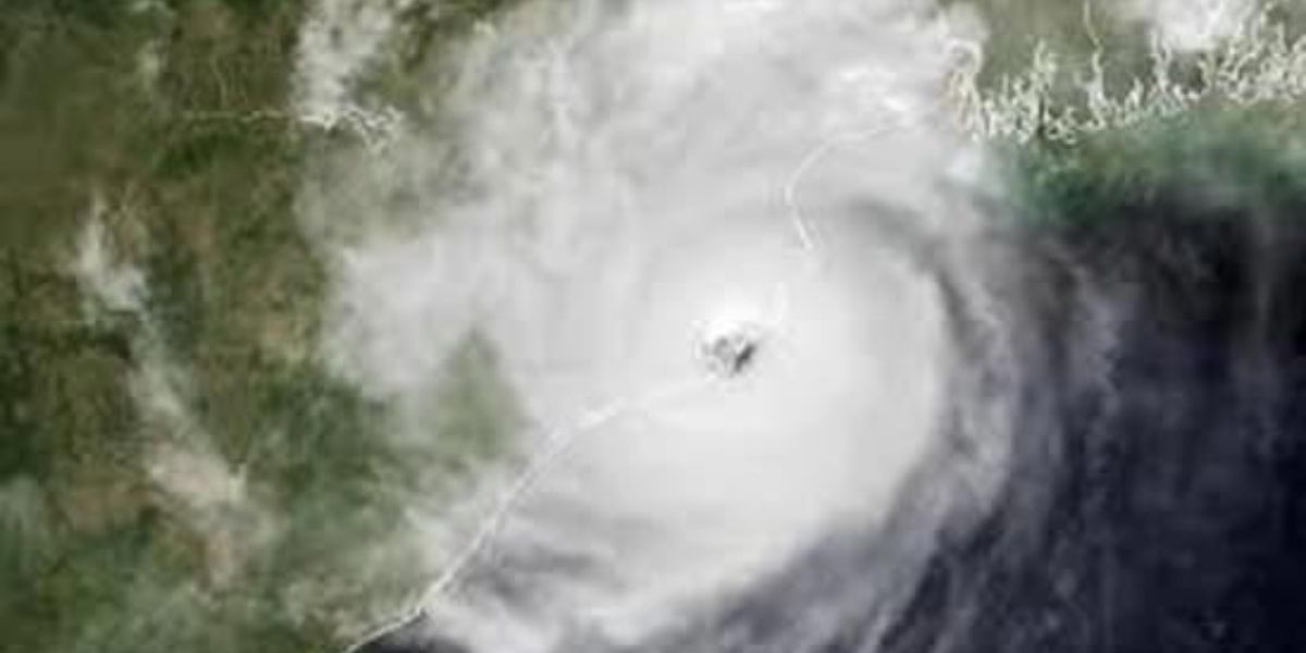
by Southern California, CA — A powerful pair of storm systems is set to drench the region through the weekend, prompting evacuation warnings, concerns over debris flows, and preparations for significant flooding across multiple counties. The first storm arrives Thursday night, bringing heavy rainfall, gusty winds, and difficult early Friday travel, while a second and even stronger system looms close behind.
First Wave Brings Overnight Downpours
Forecasters expect the first storm band to reach Ventura County Thursday evening, moving steadily inland toward Los Angeles and down the coast. Meteorologists warn of a messy Friday morning commute, with widespread wet roads, reduced visibility, and pockets of urban flooding.
Rainfall estimates for Thursday night through Friday:
Los Angeles and Orange Counties
- 0.5–1.0 inches in coastal and valley areas
- 1–2 inches in favored mountain zones
- Rain rates: 0.10–0.25 in/hr, locally 0.25–0.50 in/hr
Ventura, Santa Barbara, San Luis Obispo Counties
- 1–2 inches common
- 2–4 inches in mountain areas
- Rain rates: 0.25–0.50 in/hr, locally 0.50–1.0 in/hr
Officials advise residents to allow extra travel time, especially those heading out before sunrise Friday.
Second Wave Expected to Be More Dangerous
After midday breaks on Friday, the second and stronger system is expected to peak Friday night through Saturday night, bringing the most intense impacts.
Storm totals through Saturday night are expected to reach:
- 2–5 inches across L.A. and Orange counties
- 4–8 inches in mountains and foothills
“Saturday looks to be the toughest day in terms of the rain,” forecasters warn, noting a growing risk of dangerous flooding, debris flows, and major road closures.
Evacuation Warnings for Burn Scar Areas
L.A. County has issued evacuation warnings from 6 p.m. Thursday to 8 a.m. Sunday for neighborhoods near the Palisades and Eaton fire burn scars, where heavy rainfall may trigger rapid debris flows.
Areas under evacuation warning include: Eaton, Palisades, Canyon, Bethany, Hurst, Kenneth, Sunset, Lidia, Franklin, and Bridge.
Officials urge residents to:
- Pack essentials early — medications, documents, pet supplies, and valuables
- Be prepared to leave immediately if an evacuation order is issued
- Consider evacuating early if mobility limitations or young children are in the household
Forecast Outlook Through the Weekend
Forecasters note that while breaks in rainfall may occur throughout the storm cycle, the heaviest periods could cause sudden, dangerous changes in terrain stability and roadway safety.
Read Also: Charlotte Officials Issue Thanksgiving Warning on Turkey Cooking Methods
Rain is expected to taper off late Saturday night, assuming the upper low exits toward Nevada by Sunday afternoon. Officials strongly advise residents to stay off slick roads when possible and to take early steps to protect property.
Sandbag Locations
Residents can find sandbags at local distribution sites through the following county resources:
Stay Informed and Prepared
With two major systems arriving back-to-back, staying alert to updates from the National Weather Service, county emergency officials, and local alerts remains essential for safety.
How are conditions looking in your area? Share updates or concerns at mikeandjonpodcast.com.