 by
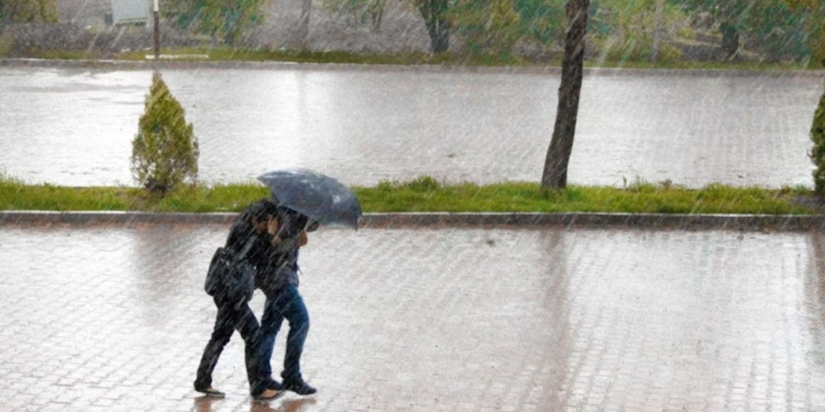
by Los Angeles, CA – Southern California residents should prepare for several days of steady rain, cooler temperatures, and gusty winds as an atmospheric river storm moves into the region this week, according to the National Weather Service (NWS).
Cooling Trend to Begin Midweek
After mild and sunny weather to start the week, temperatures are expected to dip beginning Wednesday evening, with highs falling into the mid-60s and low 70s. A shallow marine layer is expected to develop, bringing dense fog to coastal waters, beaches, and some valley areas by late evening.
Forecasters warn that visibility may drop significantly, especially along highways and low-lying regions, creating potential hazards for nighttime commuters.
Rain Expected from Thursday Through Saturday
Meteorologist said that although the exact timing remains uncertain, the first wave of rain should reach the Los Angeles area between Thursday and Friday.
“Definitely plan for a wet commute Friday — all day,” Jimenez advised. “Whether it’s the morning or the afternoon, it doesn’t matter. The timing and amount are still up in the air.”
The National Weather Service anticipates that the initial rainfall will be the heaviest, with 1 to 2 inches likely in lower elevations and 2 to 4 inches possible in mountain and foothill areas.
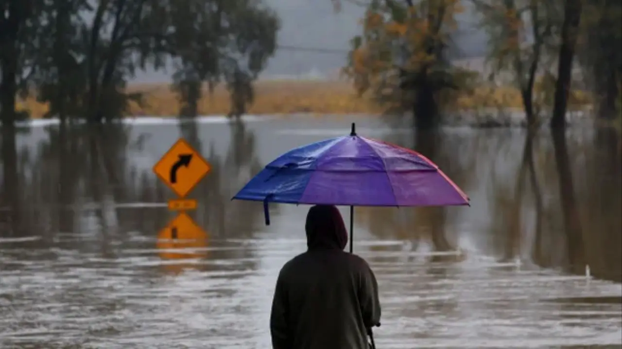
Flash Flooding and Debris Flow Concerns
There is a 10–20% chance of thunderstorms across the region, raising the risk for brief heavy downpours, gusty winds, lightning, and small hail. Rainfall rates are expected to range from 0.25 to 0.75 inches per hour, enough to cause localized flooding and debris flow concerns near recent burn scars.
“There is a chance for burn area flash flooding and debris flow issues,” said NWS meteorologist Rose Schoenfeld in a statement to the Los Angeles Times. “A flood watch will be possible for burn scars.”
Officials urge residents to avoid flooded roadways, secure outdoor items, and prepare for commute delays through the end of the week.
Read Also: Raleigh-Durham Forecast: Storms, Freezing Temps Dominate Start of the Week
Strong Winds Could Impact Travel
The storm system is also expected to bring gusty winds up to 50 mph in some inland and mountain regions. Motorists traveling along the Interstate 5 Grapevine and through the Antelope Valley could encounter dangerous crosswinds, while downtown Los Angeles may experience gusts of around 20 mph.
Though snowfall is not expected across most of Southern California, forecasters say a few inches could accumulate above 8,000 feet.
Weekend Forecast Remains Uncertain
After a wet end to the workweek, Friday’s showers may taper off before another possible round of light rain on Saturday. Weather models differ on the intensity, with some suggesting a brief break before skies clear late in the weekend.
For more community updates and local coverage, visit mikeandjonpodcast.com and share your thoughts in the comments.